Earthquake West Papua Region, Indonesia
Thu, 29 Jan 2026 05:01:41 GMT
Time5 hours ago
Location
-3.5131, 131.3526
Depth
21.0 KM
Event Summary
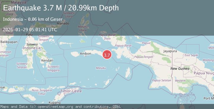
A 3.7 magnitude earthquake struck on West Papua Region, Indonesia, at Thu, 29 Jan 2026 05:01:41 GMT. Depth: 20.989893km. Reviewed by BMKG seismologists, this minor quake occurred at a magnitude type of M.
Magnitude
3.7
M
Source
BMKG
Intensity
-
Agency Reports
1 Sources| Source | Magnitude | Depth | Time |
|---|---|---|---|
| BMKGPrimary | 3.7 | 21 km | 5 hours ago |
Earthquake Details
AutomaticEvent IDbmg2026bzoa
Tsunami PotentialNo
Magnitude TypeM
Nearest Places
- Pulau Madorang35.4 km
- Pulau Koon48.7 km
- Desa Sikaro Kataloka49.2 km
- Pulau Grogus49.5 km
- Desa Namalean49.6 km
Comments
Join the discussion about this event.
Latest Earthquakes
2.3Mag
Flores Sea
Time6 hours ago
Depth11.71 km
SourceBMKG (Automatic)
1.5Mag
27 km E of Coso Junction, CA
Time6 hours ago
Depth1.60 km
SourceUSGS (Automatic)
2.0Mag
10 km E of Waimea, Hawaii
Time6 hours ago
Depth33.44 km
SourceUSGS (Automatic)
0.7Mag
15 km SSE of Mammoth Lakes, CA
Time6 hours ago
Depth8.50 km
SourceUSGS (Automatic)
3.0Mag
EASTERN HONSHU, JAPAN
Time6 hours ago
Depth10.00 km
SourceJMA (Automatic)
Nearby Earthquakes
2.9Mag
West Papua Region, Indonesia
Time2 days ago
Depth83.86 km
SourceBMKG (Automatic)
2.6Mag
West Papua Region, Indonesia
Time6 days ago
Depth62.78 km
SourceBMKG (Automatic)
2.2Mag
Seram, Indonesia
Time1 week ago
Depth10.00 km
SourceBMKG (Automatic)
3.6Mag
Banda Sea
Time1 week ago
Depth132.89 km
SourceBMKG (Automatic)
2.6Mag
Seram, Indonesia
Time3 days ago
Depth9.93 km
SourceBMKG (Automatic)