Earthquake Minahassa Peninsula, Sulawesi
Thu, 29 Jan 2026 12:31:06 GMT
Time1 hour ago
Location
-0.3130, 122.7135
Depth
10.0 KM
Event Summary
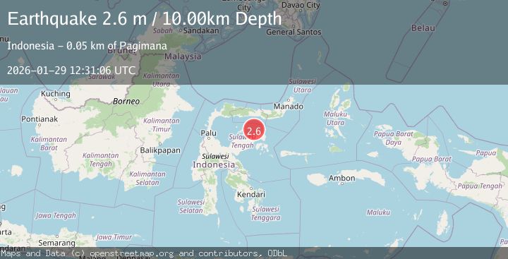
A 2.6 magnitude earthquake struck on Minahassa Peninsula, Sulawesi, at Thu, 29 Jan 2026 12:31:06 GMT. Depth: 10km. Reviewed by BMKG seismologists, this minor quake occurred at a magnitude type of M.
Magnitude
2.6
M
Source
BMKG
Intensity
-
Agency Reports
1 Sources| Source | Magnitude | Depth | Time |
|---|---|---|---|
| BMKGPrimary | 2.6 | 10 km | 1 hour ago |
Earthquake Details
AutomaticEvent IDbmg2026cacw
Tsunami PotentialNo
Magnitude TypeM
Nearest Places
- Pulau Dondolang15.1 km
- Tanjung Tambun22.4 km
- Pulau Bobatise22.4 km
- Pulau Bobatdaka22.6 km
- Tanjung Gomuo23.5 km
Comments
Join the discussion about this event.
Latest Earthquakes
1.8Mag
22 km SE of Naalehu, Hawaii
Time1 hour ago
Depth37.47 km
SourceUSGS (Automatic)
3.6Mag
Minahassa Peninsula, Sulawesi
Time1 hour ago
Depth40.25 km
SourceBMKG (Automatic)
1.9Mag
NEAR THE COAST OF WESTERN TURKEY
Time2 hours ago
Depth13.00 km
SourceEMSC (Automatic)
3.0Mag
SAN JUAN, ARGENTINA
Time2 hours ago
Depth103.00 km
SourceNSNA (Automatic)
2.3Mag
Northern Sumatra, Indonesia
Time2 hours ago
Depth6.40 km
SourceBMKG (Automatic)
Nearby Earthquakes
5.1Mag
84 km N of Luwuk, Indonesia
Time1 week ago
Depth92.62 km
SourceUSGS
2.6Mag
Minahassa Peninsula, Sulawesi
Time4 days ago
Depth59.44 km
SourceBMKG (Automatic)
2.2Mag
Minahassa Peninsula, Sulawesi
Time6 days ago
Depth37.34 km
SourceBMKG (Automatic)
2.4Mag
Minahassa Peninsula, Sulawesi
Time1 week ago
Depth79.94 km
SourceBMKG (Automatic)
3.9Mag
Minahassa Peninsula, Sulawesi
Time1 week ago
Depth29.89 km
SourceBMKG (Automatic)