Earthquake Minahassa Peninsula, Sulawesi
Thu, 29 Jan 2026 17:31:50 GMT
Time5 hours ago
Location
1.3951, 121.0940
Depth
57.9 KM
Event Summary
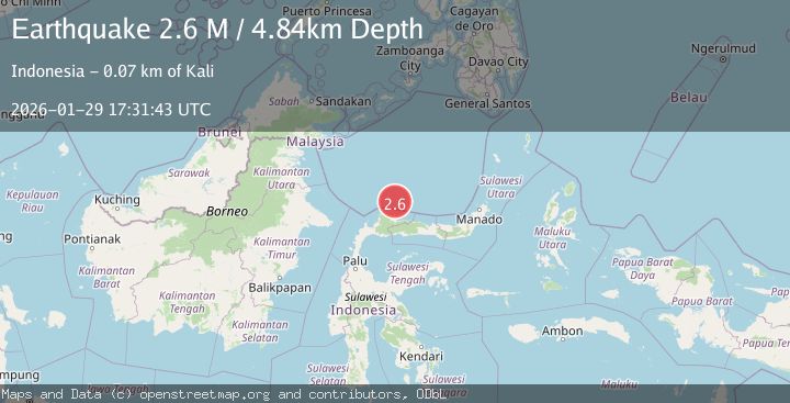
A 2.3 magnitude earthquake struck on Minahassa Peninsula, Sulawesi, at Thu, 29 Jan 2026 17:31:50 GMT. Depth: 57.853958km. Reviewed by BMKG seismologists, this minor quake occurred at a magnitude type of M.
Magnitude
2.3
M
Source
BMKG
Intensity
-
Agency Reports
1 Sources| Source | Magnitude | Depth | Time |
|---|---|---|---|
| BMKGPrimary | 2.3 | 58 km | 5 hours ago |
Earthquake Details
AutomaticEvent IDbmg2026camu
Tsunami PotentialNo
Magnitude TypeM
Nearest Places
- Tanjung Matop8.6 km
- Teluk Matop8.8 km
- Tanjung Takudan8.9 km
- Teluk Boju9.4 km
- Pulau Pinjan9.4 km
Comments
Join the discussion about this event.
Latest Earthquakes
1.3Mag
6 km WSW of Gilroy, CA
Time5 hours ago
Depth4.77 km
SourceUSGS (Automatic)
2.4Mag
50 km SW of Fort Greely, Alaska
Time5 hours ago
Depth5.00 km
SourceUSGS (Automatic)
3.2Mag
Southern Sumatra, Indonesia
Time5 hours ago
Depth23.74 km
SourceBMKG (Automatic)
2.9Mag
ANTOFAGASTA, CHILE
Time5 hours ago
Depth95.90 km
SourceCSN (Automatic)
2.8Mag
South of Bali, Indonesia
Time6 hours ago
Depth89.10 km
SourceBMKG (Automatic)
Nearby Earthquakes
3.6Mag
Minahassa Peninsula, Sulawesi
Time10 hours ago
Depth40.25 km
SourceBMKG (Automatic)
3.0Mag
MINAHASA, SULAWESI, INDONESIA
Time2 days ago
Depth29.00 km
SourceBMKG (Automatic)
2.1Mag
Minahassa Peninsula, Sulawesi
Time9 hours ago
Depth64.64 km
SourceBMKG (Automatic)
2.7Mag
MINAHASA, SULAWESI, INDONESIA
Time3 days ago
Depth31.00 km
SourceBMKG (Automatic)
2.9Mag
Minahassa Peninsula, Sulawesi
Time15 hours ago
Depth59.25 km
SourceBMKG (Automatic)