Earthquake Minahassa Peninsula, Sulawesi
Thu, 29 Jan 2026 20:32:15 GMT
Time4 hours ago
Location
-0.1423, 122.9666
Depth
18.9 KM
Event Summary
A 2.1 magnitude earthquake struck on Minahassa Peninsula, Sulawesi, at Thu, 29 Jan 2026 20:32:15 GMT. Depth: 18.88335km. Reviewed by BMKG seismologists, this minor quake occurred at a magnitude type of M.
Magnitude
2.1
M
Source
BMKG
Intensity
-
Agency Reports
1 Sources| Source | Magnitude | Depth | Time |
|---|---|---|---|
| BMKGPrimary | 2.1 | 19 km | 4 hours ago |
Earthquake Details
AutomaticEvent IDbmg2026cast
Tsunami PotentialNo
Magnitude TypeM
Nearest Places
- Pulau Sendiri36.3 km
- Pulau Mantawalu Daka44.0 km
- Pulau Ban46.0 km
- Pulau Mantawalu Ise47.4 km
- Tanjung Awok48.0 km
Comments
Join the discussion about this event.
Latest Earthquakes
1.1Mag
82 km NW of Karluk, Alaska
Time4 hours ago
Depth5.00 km
SourceUSGS (Automatic)
2.8Mag
Southern Sumatra, Indonesia
Time4 hours ago
Depth29.81 km
SourceBMKG (Automatic)
0.8Mag
7 km NW of The Geysers, CA
Time4 hours ago
Depth2.90 km
SourceUSGS (Automatic)
2.9Mag
Northern Sumatra, Indonesia
Time4 hours ago
Depth10.00 km
SourceBMKG (Automatic)
1.9Mag
2 km E of South Whittier, CA
Time4 hours ago
Depth18.88 km
SourceUSGS (Automatic)
Nearby Earthquakes
3.2Mag
Minahassa Peninsula, Sulawesi
Time6 days ago
Depth89.10 km
SourceBMKG (Automatic)
2.5Mag
Minahassa Peninsula, Sulawesi
Time2 days ago
Depth29.65 km
SourceBMKG (Automatic)
3.9Mag
Minahassa Peninsula, Sulawesi
Time1 week ago
Depth29.89 km
SourceBMKG (Automatic)
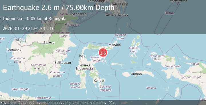
2.6Mag
Minahassa Peninsula, Sulawesi
Time1 day ago
Depth116.64 km
SourceBMKG (Automatic)
2.6Mag
Minahassa Peninsula, Sulawesi
Time5 days ago
Depth124.69 km
SourceBMKG (Automatic)