Earthquake Timor Region
Fri, 30 Jan 2026 13:45:57 GMT
Time1 hour ago
Location
-8.8776, 124.1378
Depth
59.6 KM
Event Summary
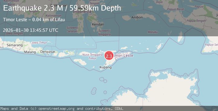
A 2.3 magnitude earthquake struck on Timor Region, at Fri, 30 Jan 2026 13:45:57 GMT. Depth: 59.590321km. Reviewed by BMKG seismologists, this minor quake occurred at a magnitude type of M.
Magnitude
2.3
M
Source
BMKG
Intensity
-
Agency Reports
1 Sources| Source | Magnitude | Depth | Time |
|---|---|---|---|
| BMKGPrimary | 2.3 | 60 km | 1 hour ago |
Earthquake Details
AutomaticEvent IDbmg2026ccav
Tsunami PotentialNo
Magnitude TypeM
Nearest Places
- Tanjung Delaki37.3 km
- Tanjung Boda37.7 km
- Tanjung Bataamin37.8 km
- Tanjung Lahaja38.2 km
- Delaki38.8 km
Comments
Join the discussion about this event.
Latest Earthquakes
2.4Mag
ISLAND OF HAWAII, HAWAII
Time1 hour ago
Depth29.90 km
SourceHV (Automatic)
2.3Mag
FRANCE
Time2 hours ago
Depth5.00 km
SourceReNaSS (Automatic)
2.5Mag
Java, Indonesia
Time2 hours ago
Depth21.00 km
SourceBMKG (Automatic)
3.7Mag
West Papua Region, Indonesia
Time2 hours ago
Depth10.00 km
SourceBMKG (Automatic)
2.0Mag
Sumba Region, Indonesia
Time2 hours ago
Depth23.22 km
SourceBMKG (Automatic)
Nearby Earthquakes
2.4Mag
Timor Region
Time3 days ago
Depth78.46 km
SourceBMKG (Automatic)
3.3Mag
Timor Region
Time4 days ago
Depth47.49 km
SourceBMKG (Automatic)
2.6Mag
Timor Region
Time5 days ago
Depth83.16 km
SourceBMKG (Automatic)
3.2Mag
Flores Region, Indonesia
Time1 week ago
Depth82.44 km
SourceBMKG (Automatic)
2.7Mag
Flores Region, Indonesia
Time4 days ago
Depth6.99 km
SourceBMKG (Automatic)