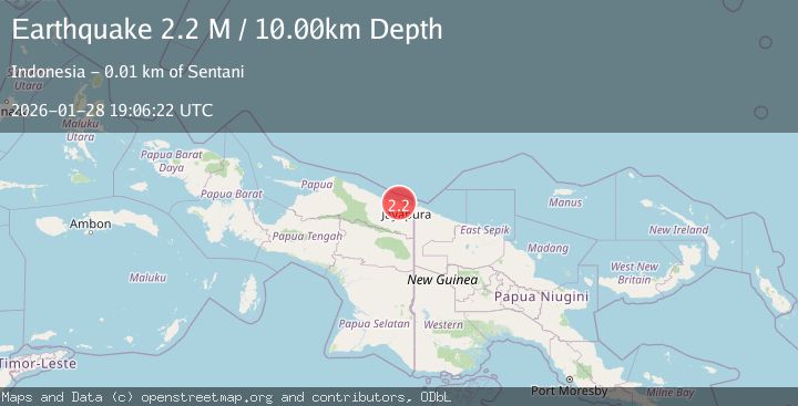
Earthquake Near North Coast of West Papua
Wed, 28 Jan 2026 19:06:22 GMT
Time3 hours ago
Location
-2.5207, 140.4394
Depth
8.9 KM
Event Summary
A 2.2 magnitude earthquake struck on Near North Coast of West Papua, at Wed, 28 Jan 2026 19:06:22 GMT. Depth: 8.864038km. Reviewed by BMKG seismologists, this minor quake occurred at a magnitude type of M.
Magnitude
2.2
M
Source
BMKG
Intensity
-
Agency Reports
1 Sources| Source | Magnitude | Depth | Time |
|---|---|---|---|
| BMKGPrimary | 2.2 | 9 km | 3 hours ago |
Earthquake Details
AutomaticEvent IDbmg2026byuk
Tsunami PotentialNo
Magnitude TypeM
Nearest Places
- Doyobaru1.3 km
- Kampung Sabron Sari1.3 km
- Kampung Bambar1.4 km
- Yulianadora1.6 km
- Sabrom2.8 km
Comments
Join the discussion about this event.
Latest Earthquakes
4.8Mag
Minahassa Peninsula, Sulawesi
Time3 hours ago
Depth9.02 km
SourceBMKG (Automatic)
2.3Mag
Sumba Region, Indonesia
Time3 hours ago
Depth8.14 km
SourceBMKG (Automatic)
2.5Mag
OFFSHORE O'HIGGINS, CHILE
Time3 hours ago
Depth31.50 km
SourceCSN (Automatic)
2.9Mag
West Papua Region, Indonesia
Time3 hours ago
Depth8.13 km
SourceBMKG (Automatic)
1.5Mag
EASTERN TURKEY
Time3 hours ago
Depth8.70 km
SourceAFAD (Automatic)
Nearby Earthquakes
2.1Mag
Near North Coast of West Papua
Time3 days ago
Depth10.56 km
SourceBMKG (Automatic)
2.8Mag
Near North Coast of West Papua
Time6 days ago
Depth10.00 km
SourceBMKG (Automatic)
2.5Mag
Near North Coast of West Papua
Time2 days ago
Depth10.00 km
SourceBMKG (Automatic)
2.5Mag
Near North Coast of West Papua
Time1 day ago
Depth10.00 km
SourceBMKG (Automatic)
2.2Mag
Near North Coast of West Papua
Time5 days ago
Depth30.05 km
SourceBMKG (Automatic)