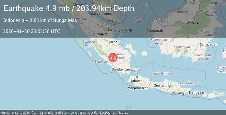
Earthquake Southern Sumatra, Indonesia
Fri, 30 Jan 2026 23:03:36 GMT
Time7 hours ago
Location
-3.5287, 103.5767
Depth
217.0 KM
Event Summary
A 4.6 magnitude earthquake struck on Southern Sumatra, Indonesia, at Fri, 30 Jan 2026 23:03:36 GMT. Depth: 216.951508km. Reviewed by BMKG seismologists, this light quake occurred at a magnitude type of M.
Magnitude
4.6
M
Source
BMKG
Intensity
-
Agency Reports
1 Sources| Source | Magnitude | Depth | Time |
|---|---|---|---|
| BMKGPrimary | 4.6 | 217 km | 7 hours ago |
Earthquake Details
AutomaticEvent IDbmg2026cctg
Tsunami PotentialNo
Magnitude TypeM
Nearest Places
- Talang Muara Sungaibunut5.9 km
- Talangkulam5.9 km
- Talangtedeng6.3 km
- Desa Gedung Agung7.0 km
- Talang Resam7.9 km
Comments
Join the discussion about this event.
Latest Earthquakes
2.9Mag
Southern Sumatra, Indonesia
Time7 hours ago
Depth11.52 km
SourceBMKG (Automatic)
2.2Mag
Java, Indonesia
Time7 hours ago
Depth133.89 km
SourceBMKG (Automatic)
3.6Mag
OFFSHORE EL SALVADOR
Time8 hours ago
Depth26.00 km
SourceINET (Automatic)
3.0Mag
MYANMAR
Time8 hours ago
Depth10.00 km
SourceTSB (Automatic)
2.1Mag
36 km W of Karluk, Alaska
Time8 hours ago
Depth64.30 km
SourceUSGS (Automatic)
Nearby Earthquakes
3.4Mag
Southern Sumatra, Indonesia
Time1 day ago
Depth48.59 km
SourceBMKG (Automatic)
3.6Mag
Southern Sumatra, Indonesia
Time3 days ago
Depth72.51 km
SourceBMKG (Automatic)
2.6Mag
Southern Sumatra, Indonesia
Time1 day ago
Depth18.59 km
SourceBMKG (Automatic)
3.2Mag
Southern Sumatra, Indonesia
Time1 day ago
Depth23.74 km
SourceBMKG (Automatic)
3.0Mag
Southern Sumatra, Indonesia
Time1 day ago
Depth23.61 km
SourceBMKG (Automatic)