Earthquake 36 km W of Karluk, Alaska
Fri, 30 Jan 2026 22:34:11 GMT
Time1 hour ago
Location
57.5520, -155.0710
Depth
64.3 KM
Event Summary
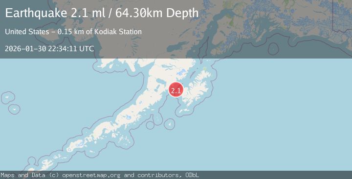
A 2.1 magnitude earthquake struck on 36 km W of Karluk, Alaska, at Fri, 30 Jan 2026 22:34:11 GMT. Depth: 64.3km. Reviewed by USGS seismologists, this minor quake occurred at a magnitude type of ml.
Magnitude
2.1
ml
Source
USGS
Intensity
-
Agency Reports
1 Sources| Source | Magnitude | Depth | Time |
|---|---|---|---|
| USGSPrimary | 2.1 | 64 km | 1 hour ago |
Earthquake Details
AutomaticEvent IDusgs_ak2026ccyylh
Tsunami PotentialNo
Magnitude Typeml
Nearest Places
- Shelikof Strait20.9 km
- Cape Kekurnoi23.6 km
- Cape Grant25.6 km
- Tombstone Rocks26.8 km
- Halibut Bay27.0 km
Comments
Join the discussion about this event.
Latest Earthquakes
2.5Mag
43 km SE of Denali National Park, Alaska
Time1 hour ago
Depth0.20 km
SourceUSGS (Automatic)
2.5Mag
EASTERN TURKEY
Time1 hour ago
Depth7.80 km
SourceKOERI (Automatic)
3.9Mag
OFF E. COAST OF N. ISLAND, N.Z.
Time1 hour ago
Depth12.00 km
SourceGNS (Automatic)
2.3Mag
50 km W of Happy Valley, Alaska
Time1 hour ago
Depth92.00 km
SourceUSGS (Automatic)
2.5Mag
Southern Sumatra, Indonesia
Time1 hour ago
Depth100.12 km
SourceBMKG (Automatic)
Nearby Earthquakes
2.2Mag
15 km W of Karluk, Alaska
Time5 days ago
Depth22.10 km
SourceUSGS (Automatic)
1.9Mag
62 km WSW of Karluk, Alaska
Time1 week ago
Depth59.00 km
SourceUSGS (Automatic)
2.1Mag
19 km N of Karluk, Alaska
Time19 hours ago
Depth56.00 km
SourceUSGS (Automatic)
1.7Mag
22 km N of Karluk, Alaska
Time1 week ago
Depth51.40 km
SourceUSGS (Automatic)
1.4Mag
85 km WNW of Karluk, Alaska
Time1 week ago
Depth17.30 km
SourceUSGS (Automatic)