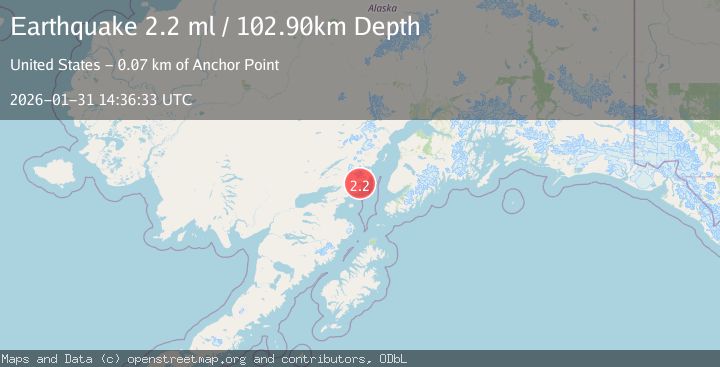
Earthquake 61 km E of Pedro Bay, Alaska
Sat, 31 Jan 2026 14:36:33 GMT
Time1 hour ago
Location
59.8560, -153.0180
Depth
102.9 KM
Event Summary
A 2.2 magnitude earthquake struck on 61 km E of Pedro Bay, Alaska, at Sat, 31 Jan 2026 14:36:33 GMT. Depth: 102.9km. Reviewed by USGS seismologists, this minor quake occurred at a magnitude type of ml.
Magnitude
2.2
ml
Source
USGS
Intensity
-
Agency Reports
1 Sources| Source | Magnitude | Depth | Time |
|---|---|---|---|
| USGSPrimary | 2.2 | 103 km | 1 hour ago |
Earthquake Details
AutomaticEvent IDusgs_ak2026ceevtp
Tsunami PotentialNo
Magnitude Typeml
Nearest Places
- Gull Island2.4 km
- Sea Otter Point2.4 km
- Horn Creek3.4 km
- Sinking Creek3.9 km
- Chinitna Bay4.2 km
Comments
Join the discussion about this event.
Latest Earthquakes
2.3Mag
Java, Indonesia
Time8 minutes ago
Depth68.79 km
SourceBMKG (Automatic)
3.7Mag
Southern Sumatra, Indonesia
Time14 minutes ago
Depth12.10 km
SourceBMKG (Automatic)
1.0Mag
22 km ENE of Little Lake, CA
Time15 minutes ago
Depth1.48 km
SourceUSGS (Automatic)
3.7Mag
NORTH OF NEW ZEALAND
Time21 minutes ago
Depth421.50 km
SourceGNS (Automatic)
2.0Mag
STRAIT OF GIBRALTAR
Time25 minutes ago
Depth19.20 km
SourceIGN (Automatic)
Nearby Earthquakes
1.9Mag
57 km E of Pedro Bay, Alaska
Time3 days ago
Depth116.30 km
SourceUSGS (Automatic)
2.3Mag
57 km E of Pedro Bay, Alaska
Time4 days ago
Depth120.40 km
SourceUSGS (Automatic)
2.2Mag
61 km W of Anchor Point, Alaska
Time5 days ago
Depth97.80 km
SourceUSGS (Automatic)
1.2Mag
53 km E of Pedro Bay, Alaska
Time1 week ago
Depth123.10 km
SourceUSGS (Automatic)
2.2Mag
52 km ENE of Pedro Bay, Alaska
Time1 day ago
Depth122.70 km
SourceUSGS (Automatic)