Earthquake Northern Sumatra, Indonesia
Sat, 31 Jan 2026 15:34:45 GMT
Time1 hour ago
Location
4.7913, 95.3081
Depth
22.8 KM
Event Summary
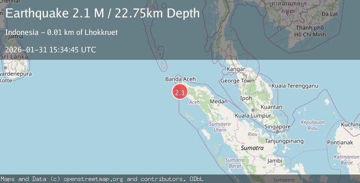
A 2.1 magnitude earthquake struck on Northern Sumatra, Indonesia, at Sat, 31 Jan 2026 15:34:45 GMT. Depth: 22.750057km. Reviewed by BMKG seismologists, this minor quake occurred at a magnitude type of M.
Magnitude
2.1
M
Source
BMKG
Intensity
-
Agency Reports
1 Sources| Source | Magnitude | Depth | Time |
|---|---|---|---|
| BMKGPrimary | 2.1 | 23 km | 1 hour ago |
Earthquake Details
AutomaticEvent IDbmg2026cdzy
Tsunami PotentialNo
Magnitude TypeM
Nearest Places
- Ujung Lipeh10.8 km
- Alue Takmelik10.9 km
- Takmelik10.9 km
- Ujung Samadua11.1 km
- Ujung Monek11.2 km
Comments
Join the discussion about this event.
Latest Earthquakes
2.3Mag
Bali Sea
Time1 hour ago
Depth18.72 km
SourceBMKG (Automatic)
1.8Mag
21 km S of Denali National Park, Alaska
Time1 hour ago
Depth5.00 km
SourceUSGS (Automatic)
1.9Mag
2 km W of Elmendorf Air Force Base, Alaska
Time1 hour ago
Depth32.40 km
SourceUSGS (Automatic)
3.0Mag
TARAPACA, CHILE
Time1 hour ago
Depth51.30 km
SourceCSN (Automatic)
2.5Mag
Minahassa Peninsula, Sulawesi
Time2 hours ago
Depth42.16 km
SourceBMKG (Automatic)
Nearby Earthquakes
3.0Mag
Northern Sumatra, Indonesia
Time1 day ago
Depth50.37 km
SourceBMKG (Automatic)
2.7Mag
Northern Sumatra, Indonesia
Time2 days ago
Depth4.82 km
SourceBMKG (Automatic)
3.4Mag
Northern Sumatra, Indonesia
Time1 day ago
Depth72.74 km
SourceBMKG (Automatic)
2.4Mag
Northern Sumatra, Indonesia
Time4 days ago
Depth7.88 km
SourceBMKG (Automatic)
2.1Mag
Northern Sumatra, Indonesia
Time1 week ago
Depth4.51 km
SourceBMKG (Automatic)