Earthquake Near North Coast of West Papua
Sat, 31 Jan 2026 20:01:50 GMT
Time1 hour ago
Location
-2.5471, 139.4210
Depth
70.1 KM
Event Summary
A 2.4 magnitude earthquake struck on Near North Coast of West Papua, at Sat, 31 Jan 2026 20:01:50 GMT. Depth: 70.099121km. Reviewed by BMKG seismologists, this minor quake occurred at a magnitude type of M.
Magnitude
2.4
M
Source
BMKG
Intensity
-
Agency Reports
1 Sources| Source | Magnitude | Depth | Time |
|---|---|---|---|
| BMKGPrimary | 2.4 | 70 km | 1 hour ago |
Earthquake Details
AutomaticEvent IDbmg2026ceit
Tsunami PotentialNo
Magnitude TypeM
Nearest Places
- Provinsi Papua4.8 km
- Air Wages10.6 km
- Titiwaifuru12.5 km
- Sonsar12.6 km
- Gunung Tuterre14.3 km
Comments
Join the discussion about this event.
Latest Earthquakes
2.4Mag
Northern Sumatra, Indonesia
Time1 hour ago
Depth5.00 km
SourceBMKG (Automatic)
2.6Mag
GREECE
Time1 hour ago
Depth8.60 km
SourceNOA (Automatic)
2.4Mag
Savu Sea
Time2 hours ago
Depth109.71 km
SourceBMKG (Automatic)
1.6Mag
94 km WNW of Yakutat, Alaska
Time2 hours ago
Depth22.60 km
SourceUSGS (Automatic)
2.5Mag
OFFSHORE VALPARAISO, CHILE
Time2 hours ago
Depth38.50 km
SourceCSN (Automatic)
Nearby Earthquakes
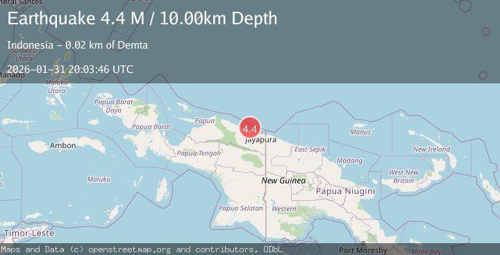
3.4Mag
Near North Coast of West Papua
Time1 day ago
Depth10.00 km
SourceBMKG (Automatic)
2.2Mag
Near North Coast of West Papua
Time1 day ago
Depth76.71 km
SourceBMKG (Automatic)
3.5Mag
Near North Coast of West Papua
Time6 days ago
Depth67.58 km
SourceBMKG (Automatic)
2.7Mag
Near North Coast of West Papua
Time10 hours ago
Depth22.48 km
SourceBMKG (Automatic)
3.2Mag
Near North Coast of West Papua
Time1 week ago
Depth25.99 km
SourceBMKG (Automatic)