Earthquake Northern Sumatra, Indonesia
Mon, 02 Feb 2026 19:18:03 GMT
Time2 hours ago
Location
5.9894, 94.9663
Depth
198.7 KM
Event Summary
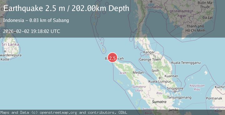
A 2.3 magnitude earthquake struck on Northern Sumatra, Indonesia, at Mon, 02 Feb 2026 19:18:03 GMT. Depth: 198.720596km. Reviewed by BMKG seismologists, this minor quake occurred at a magnitude type of M.
Magnitude
2.3
M
Source
BMKG
Intensity
-
Agency Reports
1 Sources| Source | Magnitude | Depth | Time |
|---|---|---|---|
| BMKGPrimary | 2.3 | 199 km | 2 hours ago |
Earthquake Details
AutomaticEvent IDbmg2026chyh
Tsunami PotentialNo
Magnitude TypeM
Nearest Places
- Rondo Island19.1 km
- Pulau Rondo Light19.2 km
- Pulau Mirah21.1 km
- Pulau Benggala21.8 km
- Pulau Bole26.0 km
Comments
Join the discussion about this event.
Latest Earthquakes
2.2Mag
Java, Indonesia
Time2 hours ago
Depth114.14 km
SourceBMKG (Automatic)
1.9Mag
59 km N of Karluk, Alaska
Time2 hours ago
Depth3.10 km
SourceUSGS (Automatic)
3.2Mag
OFF W. COAST OF S. ISLAND, N.Z.
Time3 hours ago
Depth5.00 km
SourceGNS (Automatic)
3.3Mag
New Guinea, Papua New Guinea
Time3 hours ago
Depth10.00 km
SourceBMKG (Automatic)
2.3Mag
Minahassa Peninsula, Sulawesi
Time3 hours ago
Depth50.17 km
SourceBMKG (Automatic)
Nearby Earthquakes
2.8Mag
Northern Sumatra, Indonesia
Time5 days ago
Depth10.00 km
SourceBMKG (Automatic)
2.7Mag
Northern Sumatra, Indonesia
Time1 week ago
Depth5.57 km
SourceBMKG (Automatic)
2.4Mag
Northern Sumatra, Indonesia
Time1 week ago
Depth7.88 km
SourceBMKG (Automatic)
3.4Mag
Northern Sumatra, Indonesia
Time3 days ago
Depth72.74 km
SourceBMKG (Automatic)
2.1Mag
Northern Sumatra, Indonesia
Time2 days ago
Depth22.75 km
SourceBMKG (Automatic)