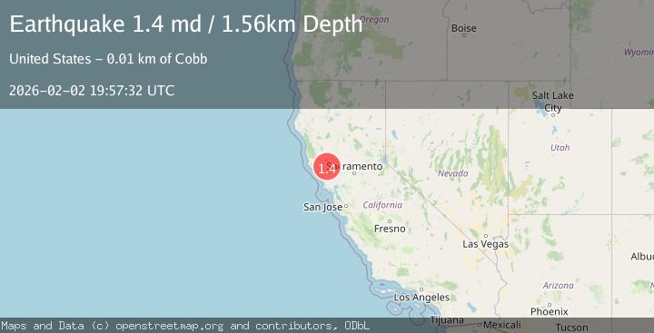
Earthquake 5 km NNW of The Geysers, CA
Mon, 02 Feb 2026 19:26:15 GMT
Time2 hours ago
Location
38.8173, -122.7838
Depth
1.7 KM
Event Summary
A 1.4 magnitude earthquake struck on 5 km NNW of The Geysers, CA, at Mon, 02 Feb 2026 19:26:15 GMT. Depth: 1.67999994754791km. Reviewed by USGS seismologists, this minor quake occurred at a magnitude type of md.
Magnitude
1.4
md
Source
USGS
Intensity
-
Agency Reports
1 Sources| Source | Magnitude | Depth | Time |
|---|---|---|---|
| USGSPrimary | 1.4 | 2 km | 2 hours ago |
Earthquake Details
AutomaticEvent IDusgs_nc75306126
Tsunami PotentialNo
Magnitude Typemd
Nearest Places
- Geyser Rock1.5 km
- Burned Mountain2.5 km
- Lee Creek2.6 km
- Geyser Canyon2.8 km
- Cobb Creek2.9 km
Comments
Join the discussion about this event.
Latest Earthquakes
2.5Mag
Java, Indonesia
Time4 minutes ago
Depth25.51 km
SourceBMKG (Automatic)
1.8Mag
10 km ESE of Pearsall, Texas
Time8 minutes ago
Depth8.90 km
SourceUSGS (Automatic)
3.5Mag
West Papua Region, Indonesia
Time12 minutes ago
Depth76.55 km
SourceBMKG (Automatic)
1.6Mag
6 km NNW of Lakeside, CA
Time13 minutes ago
Depth3.33 km
SourceUSGS (Automatic)
2.8Mag
Sulawesi, Indonesia
Time27 minutes ago
Depth10.00 km
SourceBMKG (Automatic)
Nearby Earthquakes
0.8Mag
5 km NNW of The Geysers, CA
Time1 week ago
Depth1.22 km
SourceUSGS (Automatic)
1.1Mag
5 km NNW of The Geysers, CA
Time1 week ago
Depth1.46 km
SourceUSGS (Automatic)
1.4Mag
5 km W of Cobb, CA
Time1 week ago
Depth1.86 km
SourceUSGS (Automatic)
1.5Mag
5 km NNW of The Geysers, CA
Time4 days ago
Depth1.95 km
SourceUSGS (Automatic)
0.7Mag
Northern California
Time1 week ago
Depth3.31 km
SourceUSGS (Automatic)