Earthquake 19 km NNE of Four Mile Road, Alaska
Sun, 08 Feb 2026 07:11:32 GMT
Time1 hour ago
Location
64.7690, -148.9900
Depth
5.0 KM
Event Summary
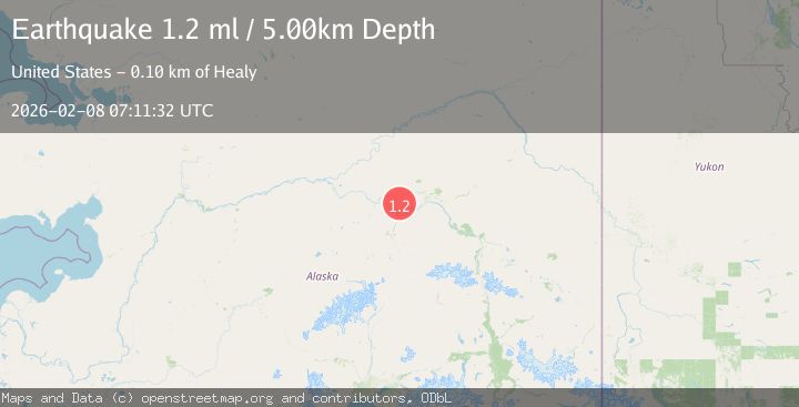
A 1.2 magnitude earthquake struck on 19 km NNE of Four Mile Road, Alaska, at Sun, 08 Feb 2026 07:11:32 GMT. Depth: 5km. Reviewed by USGS seismologists, this minor quake occurred at a magnitude type of ml.
Magnitude
1.2
ml
Source
USGS
Intensity
-
Agency Reports
1 Sources| Source | Magnitude | Depth | Time |
|---|---|---|---|
| USGSPrimary | 1.2 | 5 km | 1 hour ago |
Earthquake Details
AutomaticEvent IDusgs_ak2026cshxid
Tsunami PotentialNo
Magnitude Typeml
Nearest Places
- Little Goldstream Creek5.1 km
- Twomile Lake7.1 km
- Bridge Lake7.3 km
- Sawmill Island8.4 km
- Dunbar9.5 km
Comments
Join the discussion about this event.
Latest Earthquakes
1.6Mag
10 km S of Forsan, Texas
Time6 minutes ago
Depth1.25 km
SourceUSGS (Automatic)
2.9Mag
Northern Molucca Sea
Time14 minutes ago
Depth1.52 km
SourceBMKG (Automatic)
2.4Mag
4 km SE of Devore, CA
Time22 minutes ago
Depth12.27 km
SourceUSGS (Automatic)
0.7Mag
1 km WSW of The Geysers, CA
Time22 minutes ago
Depth9.04 km
SourceUSGS (Automatic)
1.4Mag
WESTERN TURKEY
Time26 minutes ago
Depth6.30 km
SourceAFAD (Automatic)
Nearby Earthquakes
1.3Mag
20 km NNE of Four Mile Road, Alaska
Time1 week ago
Depth5.00 km
SourceUSGS (Automatic)
0.7Mag
22 km NE of Four Mile Road, Alaska
Time1 week ago
Depth28.90 km
SourceUSGS (Automatic)
1.1Mag
22 km NE of Four Mile Road, Alaska
Time4 hours ago
Depth8.90 km
SourceUSGS (Automatic)
0.7Mag
28 km N of Four Mile Road, Alaska
Time1 week ago
Depth8.40 km
SourceUSGS (Automatic)
1.2Mag
28 km NE of Four Mile Road, Alaska
Time5 days ago
Depth5.00 km
SourceUSGS (Automatic)