Earthquake Off West Coast of Northern Sumatra
Wed, 04 Feb 2026 18:34:14 GMT
Time2 hours ago
Location
2.6031, 95.7791
Depth
51.7 KM
Event Summary
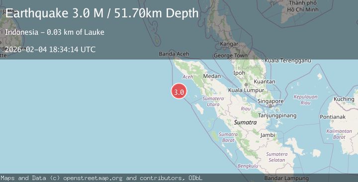
A 3.0 magnitude earthquake struck on Off West Coast of Northern Sumatra, at Wed, 04 Feb 2026 18:34:14 GMT. Depth: 51.704056km. Reviewed by BMKG seismologists, this minor quake occurred at a magnitude type of M.
Magnitude
3.0
M
Source
BMKG
Intensity
-
Agency Reports
1 Sources| Source | Magnitude | Depth | Time |
|---|---|---|---|
| BMKGPrimary | 3.0 | 52 km | 2 hours ago |
Earthquake Details
AutomaticEvent IDbmg2026clnw
Tsunami PotentialNo
Magnitude TypeM
Nearest Places
- Ujung Uluayan4.0 km
- Karang Sotan5.1 km
- Padangunui6.8 km
- Ujung Usuj7.1 km
- Nasrehe7.5 km
Comments
Join the discussion about this event.
Latest Earthquakes
2.4Mag
NORTHERN CALIFORNIA
Time2 hours ago
Depth27.00 km
SourceNC (Automatic)
1.8Mag
4 km ESE of San Ramon, CA
Time2 hours ago
Depth4.41 km
SourceUSGS (Automatic)
1.6Mag
28 km NNE of Nellis Air Force Base, Nevada
Time2 hours ago
Depth4.22 km
SourceUSGS (Automatic)
0.9Mag
WESTERN TURKEY
Time2 hours ago
Depth7.00 km
SourceAFAD (Automatic)
5.8Mag
RYUKYU ISLANDS, JAPAN
Time2 hours ago
Depth10.00 km
SourceGFZ (Automatic)
Nearby Earthquakes
3.1Mag
Off West Coast of Northern Sumatra
Time4 hours ago
Depth82.66 km
SourceBMKG (Automatic)
3.2Mag
Off West Coast of Northern Sumatra
Time2 days ago
Depth10.00 km
SourceBMKG (Automatic)
4.4Mag
Northern Sumatra, Indonesia
Time6 days ago
Depth10.00 km
SourceBMKG (Automatic)
2.7Mag
Northern Sumatra, Indonesia
Time5 days ago
Depth8.31 km
SourceBMKG (Automatic)
3.1Mag
Off West Coast of Northern Sumatra
Time1 day ago
Depth3.90 km
SourceBMKG (Automatic)