Earthquake Timor Region
Sun, 01 Feb 2026 18:51:01 GMT
Time4 days ago
Location
-10.6434, 124.3693
Depth
28.5 KM
Event Summary
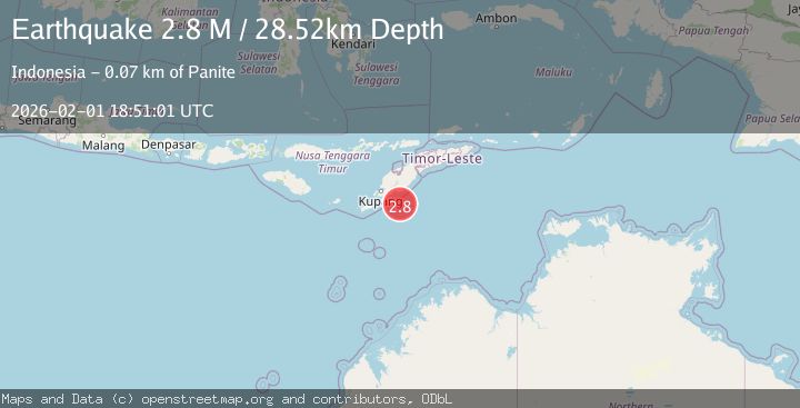
A 2.8 magnitude earthquake struck on Timor Region, at Sun, 01 Feb 2026 18:51:01 GMT. Depth: 28.524796km. Reviewed by BMKG seismologists, this minor quake occurred at a magnitude type of M.
Magnitude
2.8
M
Source
BMKG
Intensity
-
Agency Reports
1 Sources| Source | Magnitude | Depth | Time |
|---|---|---|---|
| BMKGPrimary | 2.8 | 29 km | 4 days ago |
Earthquake Details
AutomaticEvent IDbmg2026cgbx
Tsunami PotentialNo
Magnitude TypeM
Nearest Places
- Tanjung Ela53.1 km
- Oesuenu53.3 km
- Teluk Noilmina54.8 km
- Desa Tuafanu54.9 km
- Nifu Kubai55.2 km
Comments
Join the discussion about this event.
Latest Earthquakes
1.5Mag
23 km NNW of Tehachapi, CA
Time2 minutes ago
Depth5.40 km
SourceUSGS (Automatic)
1.6Mag
16 km WSW of Salcha, Alaska
Time9 minutes ago
Depth7.50 km
SourceUSGS (Automatic)
1.0Mag
10 km WSW of Stanton, Texas
Time10 minutes ago
Depth3.36 km
SourceUSGS (Automatic)
3.0Mag
SOUTH AFRICA
Time10 minutes ago
Depth10.00 km
SourceSASN (Automatic)
2.4Mag
WESTERN TURKEY
Time16 minutes ago
Depth8.30 km
SourceKOERI (Automatic)
Nearby Earthquakes
2.1Mag
Timor Region
Time2 hours ago
Depth27.72 km
SourceBMKG (Automatic)
2.9Mag
Timor Region
Time2 days ago
Depth0.00 km
SourceBMKG (Automatic)
2.2Mag
Timor Region
Time1 week ago
Depth5.01 km
SourceBMKG (Automatic)
3.9Mag
Timor Region
Time1 week ago
Depth48.21 km
SourceBMKG (Automatic)
2.9Mag
Timor Region
Time1 week ago
Depth14.59 km
SourceBMKG (Automatic)