Earthquake Northern Molucca Sea
Mon, 02 Feb 2026 02:10:45 GMT
Time16 hours ago
Location
1.6236, 126.3640
Depth
42.7 KM
Event Summary
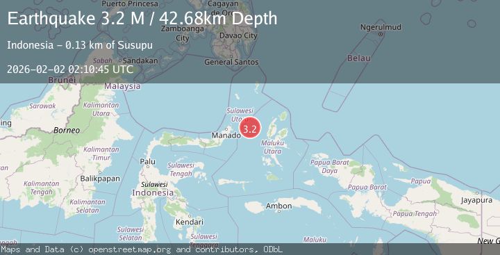
A 3.2 magnitude earthquake struck on Northern Molucca Sea, at Mon, 02 Feb 2026 02:10:45 GMT. Depth: 42.684612km. Reviewed by BMKG seismologists, this minor quake occurred at a magnitude type of M.
Magnitude
3.2
M
Source
BMKG
Intensity
-
Agency Reports
1 Sources| Source | Magnitude | Depth | Time |
|---|---|---|---|
| BMKGPrimary | 3.2 | 43 km | 16 hours ago |
Earthquake Details
AutomaticEvent IDbmg2026cgqk
Tsunami PotentialNo
Magnitude TypeM
Nearest Places
- Kelurahan Mayau32.1 km
- Kelurahan Perum Bersatu32.9 km
- Kelurahan Bido33.0 km
- Pulau Mayu33.2 km
- Pasirputih33.4 km
Comments
Join the discussion about this event.
Latest Earthquakes
1.3Mag
86 km NW of Karluk, Alaska
Time16 hours ago
Depth5.00 km
SourceUSGS (Automatic)
3.0Mag
Halmahera, Indonesia
Time16 hours ago
Depth12.53 km
SourceBMKG (Automatic)
3.6Mag
TUCUMAN, ARGENTINA
Time16 hours ago
Depth10.00 km
SourceNSNA (Automatic)
2.0Mag
CENTRAL TURKEY
Time16 hours ago
Depth7.00 km
SourceAFAD (Automatic)
1.3Mag
SWITZERLAND
Time16 hours ago
Depth4.00 km
SourceETHZ (Automatic)
Nearby Earthquakes
3.1Mag
Northern Molucca Sea
Time5 days ago
Depth31.75 km
SourceBMKG (Automatic)
2.8Mag
Northern Molucca Sea
Time5 days ago
Depth6.77 km
SourceBMKG (Automatic)
3.1Mag
Northern Molucca Sea
Time6 days ago
Depth31.63 km
SourceBMKG (Automatic)
3.4Mag
Northern Molucca Sea
Time5 days ago
Depth30.75 km
SourceBMKG (Automatic)
4.7Mag
Northern Molucca Sea
Time1 week ago
Depth23.34 km
SourceBMKG (Automatic)