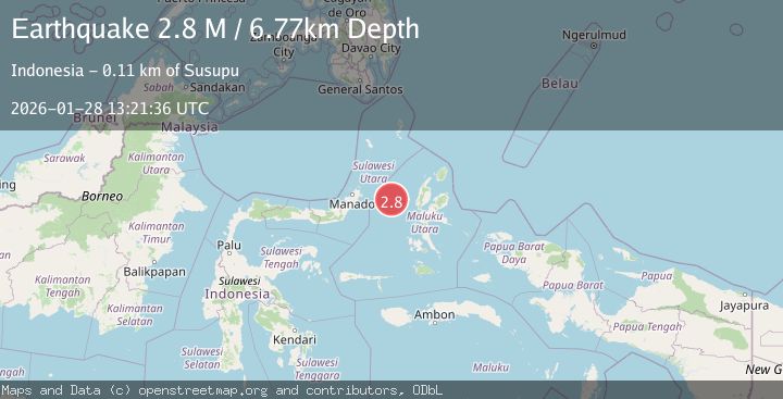
Earthquake Northern Molucca Sea
Wed, 28 Jan 2026 13:21:38 GMT
Time1 hour ago
Location
1.2356, 126.4611
Depth
27.3 KM
Event Summary
A 2.7 magnitude earthquake struck on Northern Molucca Sea, at Wed, 28 Jan 2026 13:21:38 GMT. Depth: 27.344196km. Reviewed by BMKG seismologists, this minor quake occurred at a magnitude type of M.
Magnitude
2.7
M
Source
BMKG
Intensity
-
Agency Reports
1 Sources| Source | Magnitude | Depth | Time |
|---|---|---|---|
| BMKGPrimary | 2.7 | 27 km | 1 hour ago |
Earthquake Details
AutomaticEvent IDbmg2026byjb
Tsunami PotentialNo
Magnitude TypeM
Nearest Places
- Tanjung Geranomaderi9.3 km
- Kelurahan Lelewi12.0 km
- Kelurahan Bido12.3 km
- Kecamatan Pulau Batang Dua12.9 km
- Pulau Mayu13.0 km
Comments
Join the discussion about this event.
Latest Earthquakes
3.1Mag
Timor Region
Time1 hour ago
Depth6.99 km
SourceBMKG (Automatic)
2.5Mag
OKLAHOMA
Time1 hour ago
Depth1.10 km
SourceOK (Automatic)
1.2Mag
WESTERN TURKEY
Time1 hour ago
Depth7.00 km
SourceAFAD (Automatic)
2.9Mag
Sulawesi, Indonesia
Time1 hour ago
Depth4.42 km
SourceBMKG (Automatic)
2.9Mag
West Papua, Indonesia
Time2 hours ago
Depth18.29 km
SourceBMKG (Automatic)
Nearby Earthquakes
3.1Mag
Northern Molucca Sea
Time1 day ago
Depth31.63 km
SourceBMKG (Automatic)
4.7Mag
Northern Molucca Sea
Time6 days ago
Depth23.34 km
SourceBMKG (Automatic)
3.1Mag
Northern Molucca Sea
Time15 hours ago
Depth31.75 km
SourceBMKG (Automatic)
3.0Mag
Northern Molucca Sea
Time2 days ago
Depth25.04 km
SourceBMKG (Automatic)
3.1Mag
Northern Molucca Sea
Time3 days ago
Depth27.94 km
SourceBMKG (Automatic)