Earthquake Sumba Region, Indonesia
Mon, 02 Feb 2026 17:32:23 GMT
Time4 hours ago
Location
-9.4520, 119.1320
Depth
10.0 KM
Event Summary
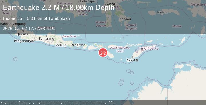
A 2.2 magnitude earthquake struck on Sumba Region, Indonesia, at Mon, 02 Feb 2026 17:32:23 GMT. Depth: 10km. Reviewed by BMKG seismologists, this minor quake occurred at a magnitude type of M.
Magnitude
2.2
M
Source
BMKG
Intensity
-
Agency Reports
1 Sources| Source | Magnitude | Depth | Time |
|---|---|---|---|
| BMKGPrimary | 2.2 | 10 km | 4 hours ago |
Earthquake Details
AutomaticEvent IDbmg2026chuv
Tsunami PotentialNo
Magnitude TypeM
Nearest Places
- Bongou0.3 km
- Puuniu0.5 km
- Redamotor0.7 km
- Kalimbukaha Dua1.1 km
- Kapakajamanunu1.3 km
Comments
Join the discussion about this event.
Latest Earthquakes
2.3Mag
Northern Sumatra, Indonesia
Time4 hours ago
Depth137.51 km
SourceBMKG (Automatic)
2.5Mag
PUERTO RICO REGION
Time4 hours ago
Depth16.10 km
SourceNEIC (Automatic)
2.8Mag
Off West Coast of Northern Sumatra
Time4 hours ago
Depth56.43 km
SourceBMKG (Automatic)
1.7Mag
55 km NW of Toyah, Texas
Time4 hours ago
Depth4.04 km
SourceUSGS (Automatic)
2.9Mag
Northern Sumatra, Indonesia
Time4 hours ago
Depth14.46 km
SourceBMKG (Automatic)
Nearby Earthquakes
3.5Mag
Sumba Region, Indonesia
Time5 days ago
Depth7.78 km
SourceBMKG (Automatic)
2.3Mag
Sumba Region, Indonesia
Time1 week ago
Depth63.48 km
SourceBMKG (Automatic)
2.3Mag
Sumba Region, Indonesia
Time5 days ago
Depth8.14 km
SourceBMKG (Automatic)
2.4Mag
Sumba Region, Indonesia
Time16 hours ago
Depth66.34 km
SourceBMKG (Automatic)
2.3Mag
Sumba Region, Indonesia
Time5 days ago
Depth41.02 km
SourceBMKG (Automatic)