Earthquake 55 km NW of Toyah, Texas
Mon, 02 Feb 2026 17:19:00 GMT
Time6 hours ago
Location
31.6330, -104.2420
Depth
4.0 KM
Event Summary
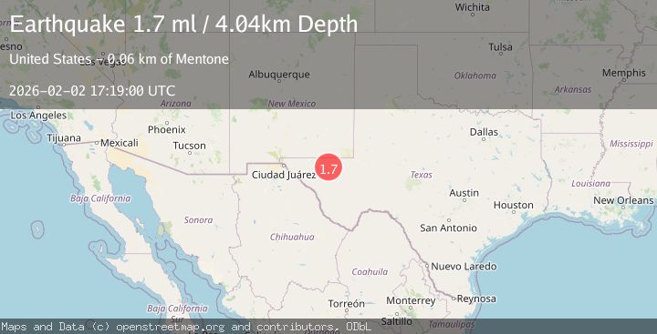
A 1.7 magnitude earthquake struck on 55 km NW of Toyah, Texas, at Mon, 02 Feb 2026 17:19:00 GMT. Depth: 4.0387km. Reviewed by USGS seismologists, this minor quake occurred at a magnitude type of ml.
Magnitude
1.7
ml
Source
USGS
Intensity
-
Agency Reports
1 Sources| Source | Magnitude | Depth | Time |
|---|---|---|---|
| USGSPrimary | 1.7 | 4 km | 6 hours ago |
Earthquake Details
AutomaticEvent IDusgs_tx2026cibqww
Tsunami PotentialNo
Magnitude Typeml
Nearest Places
- Rustler Spring1.9 km
- Cedar Pasture Draw5.2 km
- Monument Windmill5.6 km
- Running Water Draw6.3 km
- Old Grapevine Well6.8 km
Comments
Join the discussion about this event.
Latest Earthquakes
2.2Mag
7 km S of Badger, Alaska
Time6 minutes ago
Depth19.20 km
SourceUSGS (Automatic)
1.9Mag
87 km N of Yakutat, Alaska
Time18 minutes ago
Depth5.00 km
SourceUSGS (Automatic)
1.8Mag
44 km NW of Tatitlek, Alaska
Time22 minutes ago
Depth17.80 km
SourceUSGS (Automatic)
2.3Mag
Flores Region, Indonesia
Time23 minutes ago
Depth17.19 km
SourceBMKG (Automatic)
3.6Mag
Sumbawa Region, Indonesia
Time25 minutes ago
Depth14.84 km
SourceBMKG (Automatic)
Nearby Earthquakes
1.8Mag
55 km NW of Toyah, Texas
Time1 week ago
Depth4.58 km
SourceUSGS (Automatic)
1.7Mag
55 km NW of Toyah, Texas
Time3 days ago
Depth7.18 km
SourceUSGS
1.9Mag
54 km NW of Toyah, Texas
Time6 days ago
Depth4.50 km
SourceUSGS (Automatic)
1.1Mag
55 km WNW of Toyah, Texas
Time1 day ago
Depth0.00 km
SourceUSGS (Automatic)
3.5Mag
55 km SSE of Whites City, New Mexico
Time1 week ago
Depth5.03 km
SourceUSGS (Automatic)