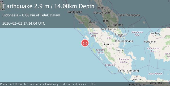
Earthquake Northern Sumatra, Indonesia
Mon, 02 Feb 2026 17:14:04 GMT
Time6 hours ago
Location
0.0704, 97.2365
Depth
14.5 KM
Event Summary
A 2.9 magnitude earthquake struck on Northern Sumatra, Indonesia, at Mon, 02 Feb 2026 17:14:04 GMT. Depth: 14.455595km. Reviewed by BMKG seismologists, this minor quake occurred at a magnitude type of M.
Magnitude
2.9
M
Source
BMKG
Intensity
-
Agency Reports
1 Sources| Source | Magnitude | Depth | Time |
|---|---|---|---|
| BMKGPrimary | 2.9 | 14 km | 6 hours ago |
Earthquake Details
AutomaticEvent IDbmg2026chuf
Tsunami PotentialNo
Magnitude TypeM
Nearest Places
- Desa Silina69.5 km
- Desa Gobo Baru70.2 km
- Desa Silina Baru71.4 km
- Pulau Simuk71.8 km
- Kecamatan Simuk72.7 km
Comments
Join the discussion about this event.
Latest Earthquakes
3.0Mag
Sumbawa Region, Indonesia
Time6 hours ago
Depth10.00 km
SourceBMKG (Automatic)
2.1Mag
Banda Sea
Time6 hours ago
Depth15.77 km
SourceBMKG (Automatic)
2.2Mag
Northern Sumatra, Indonesia
Time6 hours ago
Depth5.47 km
SourceBMKG (Automatic)
1.2Mag
13 km E of Mammoth Lakes, CA
Time6 hours ago
Depth7.64 km
SourceUSGS (Automatic)
1.8Mag
17 km S of Tres Pinos, CA
Time6 hours ago
Depth5.59 km
SourceUSGS (Automatic)
Nearby Earthquakes
4.4Mag
82 km SW of Teluk Dalam, Indonesia
Time1 week ago
Depth10.00 km
SourceUSGS
2.4Mag
Northern Sumatra, Indonesia
Time1 week ago
Depth10.00 km
SourceBMKG (Automatic)
2.9Mag
Northern Sumatra, Indonesia
Time6 days ago
Depth7.87 km
SourceBMKG (Automatic)
4.8Mag
Off West Coast of Northern Sumatra
Time3 days ago
Depth19.15 km
SourceBMKG (Automatic)
2.5Mag
Northern Sumatra, Indonesia
Time13 hours ago
Depth24.02 km
SourceBMKG (Automatic)