Earthquake Off West Coast of Northern Sumatra
Mon, 02 Feb 2026 17:21:10 GMT
Time6 hours ago
Location
4.7062, 94.8764
Depth
56.4 KM
Event Summary
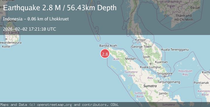
A 2.8 magnitude earthquake struck on Off West Coast of Northern Sumatra, at Mon, 02 Feb 2026 17:21:10 GMT. Depth: 56.426167km. Reviewed by BMKG seismologists, this minor quake occurred at a magnitude type of M.
Magnitude
2.8
M
Source
BMKG
Intensity
-
Agency Reports
1 Sources| Source | Magnitude | Depth | Time |
|---|---|---|---|
| BMKGPrimary | 2.8 | 56 km | 6 hours ago |
Earthquake Details
AutomaticEvent IDbmg2026chul
Tsunami PotentialNo
Magnitude TypeM
Nearest Places
- Nicobar-Simeulue Basin53.0 km
- Ujung Monek57.3 km
- Babahparu57.3 km
- Alue Udueng57.5 km
- Alue Uju57.7 km
Comments
Join the discussion about this event.
Latest Earthquakes
1.7Mag
55 km NW of Toyah, Texas
Time6 hours ago
Depth4.04 km
SourceUSGS (Automatic)
2.9Mag
Northern Sumatra, Indonesia
Time6 hours ago
Depth14.46 km
SourceBMKG (Automatic)
3.0Mag
Sumbawa Region, Indonesia
Time6 hours ago
Depth10.00 km
SourceBMKG (Automatic)
3.2Mag
WESTERN TURKEY
Time6 hours ago
Depth12.80 km
SourceAFAD (Automatic)
2.5Mag
NEPAL
Time6 hours ago
Depth10.00 km
SourceNDI (Automatic)
Nearby Earthquakes
2.1Mag
Northern Sumatra, Indonesia
Time2 days ago
Depth22.75 km
SourceBMKG (Automatic)
4.1Mag
Off West Coast of Northern Sumatra
Time5 days ago
Depth31.85 km
SourceBMKG (Automatic)
3.0Mag
Northern Sumatra, Indonesia
Time3 days ago
Depth50.37 km
SourceBMKG (Automatic)
2.7Mag
Northern Sumatra, Indonesia
Time1 week ago
Depth5.57 km
SourceBMKG (Automatic)
2.7Mag
Northern Sumatra, Indonesia
Time4 days ago
Depth4.82 km
SourceBMKG (Automatic)