Earthquake West Papua Region, Indonesia
Mon, 02 Feb 2026 20:34:12 GMT
Time1 hour ago
Location
-3.5994, 134.9122
Depth
10.0 KM
Event Summary
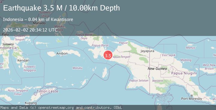
A 3.5 magnitude earthquake struck on West Papua Region, Indonesia, at Mon, 02 Feb 2026 20:34:12 GMT. Depth: 10km. Reviewed by BMKG seismologists, this minor quake occurred at a magnitude type of M.
Magnitude
3.5
M
Source
BMKG
Intensity
-
Agency Reports
1 Sources| Source | Magnitude | Depth | Time |
|---|---|---|---|
| BMKGPrimary | 3.5 | 10 km | 1 hour ago |
Earthquake Details
AutomaticEvent IDbmg2026ciav
Tsunami PotentialNo
Magnitude TypeM
Nearest Places
- Kampung Urubika1.4 km
- Akama5.2 km
- Anggadi7.5 km
- Danau Jamur8.0 km
- Goreda8.3 km
Comments
Join the discussion about this event.
Latest Earthquakes
2.3Mag
Sulawesi, Indonesia
Time1 hour ago
Depth6.12 km
SourceBMKG (Automatic)
1.8Mag
68 km ESE of Cantwell, Alaska
Time1 hour ago
Depth2.20 km
SourceUSGS (Automatic)
1.5Mag
13 km E of Pearsall, Texas
Time2 hours ago
Depth8.04 km
SourceUSGS (Automatic)
3.0Mag
Southern Sumatra, Indonesia
Time2 hours ago
Depth10.00 km
SourceBMKG (Automatic)
1.2Mag
24 km NE of Minto, Alaska
Time2 hours ago
Depth6.60 km
SourceUSGS (Automatic)
Nearby Earthquakes
2.9Mag
West Papua Region, Indonesia
Time5 days ago
Depth8.13 km
SourceBMKG (Automatic)
2.5Mag
West Papua Region, Indonesia
Time2 days ago
Depth48.56 km
SourceBMKG (Automatic)
3.6Mag
West Papua Region, Indonesia
Time1 week ago
Depth10.00 km
SourceBMKG (Automatic)
2.3Mag
West Papua Region, Indonesia
Time1 week ago
Depth40.13 km
SourceBMKG (Automatic)
2.7Mag
West Papua Region, Indonesia
Time1 week ago
Depth35.26 km
SourceBMKG (Automatic)