Earthquake 47 km SSE of Glacier View, Alaska
Mon, 02 Feb 2026 21:15:33 GMT
Time3 hours ago
Location
61.4280, -147.2430
Depth
18.5 KM
Event Summary
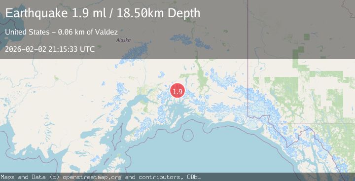
A 1.9 magnitude earthquake struck on 47 km SSE of Glacier View, Alaska, at Mon, 02 Feb 2026 21:15:33 GMT. Depth: 18.5km. Reviewed by USGS seismologists, this minor quake occurred at a magnitude type of ml.
Magnitude
1.9
ml
Source
USGS
Intensity
-
Agency Reports
1 Sources| Source | Magnitude | Depth | Time |
|---|---|---|---|
| USGSPrimary | 1.9 | 19 km | 3 hours ago |
Earthquake Details
AutomaticEvent IDusgs_ak2026cijniq
Tsunami PotentialNo
Magnitude Typeml
Nearest Places
- Mount Edison3.7 km
- Mount Witherspoon4.3 km
- Mount Gilbert Lewis5.4 km
- Mount Elusive6.2 km
- Mount Cardozo8.1 km
Comments
Join the discussion about this event.
Latest Earthquakes
1.8Mag
4 km SE of San Ramon, CA
Time51 minutes ago
Depth6.96 km
SourceUSGS (Automatic)
3.3Mag
Java, Indonesia
Time53 minutes ago
Depth90.20 km
SourceBMKG (Automatic)
4.3Mag
TARAPACA, CHILE
Time54 minutes ago
Depth54.00 km
SourceCSLC (Automatic)
1.8Mag
55 km E of Nabesna, Alaska
Time54 minutes ago
Depth5.00 km
SourceUSGS (Automatic)
3.1Mag
Northern Molucca Sea
Time1 hour ago
Depth10.00 km
SourceBMKG (Automatic)
Nearby Earthquakes
1.8Mag
41 km WNW of Valdez, Alaska
Time1 day ago
Depth5.00 km
SourceUSGS (Automatic)
1.9Mag
42 km WNW of Valdez, Alaska
Time6 days ago
Depth9.20 km
SourceUSGS
1.7Mag
55 km S of Glacier View, Alaska
Time9 hours ago
Depth5.00 km
SourceUSGS (Automatic)
1.5Mag
32 km S of Eureka Roadhouse, Alaska
Time1 week ago
Depth19.10 km
SourceUSGS (Automatic)
1.8Mag
31 km NW of Valdez, Alaska
Time1 week ago
Depth22.60 km
SourceUSGS (Automatic)