Earthquake Sumbawa Region, Indonesia
Mon, 02 Feb 2026 22:59:13 GMT
Time2 hours ago
Location
-8.4258, 116.9871
Depth
14.8 KM
Event Summary
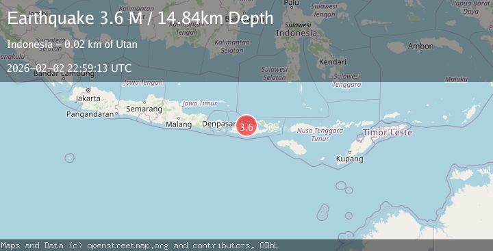
A 3.6 magnitude earthquake struck on Sumbawa Region, Indonesia, at Mon, 02 Feb 2026 22:59:13 GMT. Depth: 14.83985km. Reviewed by BMKG seismologists, this minor quake occurred at a magnitude type of M.
Magnitude
3.6
M
Source
BMKG
Intensity
-
Agency Reports
1 Sources| Source | Magnitude | Depth | Time |
|---|---|---|---|
| BMKGPrimary | 3.6 | 15 km | 2 hours ago |
Earthquake Details
AutomaticEvent IDbmg2026cifp
Tsunami PotentialNo
Magnitude TypeM
Nearest Places
- Teluk Ketobo1.5 km
- Tanjung Ketobo2.0 km
- Selat Pajawa2.2 km
- Teluk Gilikolo3.0 km
- Pulau Saringi3.2 km
Comments
Join the discussion about this event.
Latest Earthquakes
2.2Mag
Flores Region, Indonesia
Time2 hours ago
Depth20.00 km
SourceBMKG (Automatic)
3.5Mag
West Papua Region, Indonesia
Time2 hours ago
Depth10.00 km
SourceBMKG (Automatic)
3.1Mag
5 km SE of San Ramon, CA
Time2 hours ago
Depth6.47 km
SourceUSGS (Automatic)
4.1Mag
Northern Sumatra, Indonesia
Time2 hours ago
Depth10.00 km
SourceBMKG (Automatic)
4.1Mag
BANGLADESH
Time2 hours ago
Depth150.00 km
SourceNDI (Automatic)
Nearby Earthquakes
3.0Mag
Sumbawa Region, Indonesia
Time7 hours ago
Depth10.00 km
SourceBMKG (Automatic)
2.6Mag
Sumbawa Region, Indonesia
Time1 week ago
Depth11.02 km
SourceBMKG (Automatic)
4.5Mag
Sumbawa Region, Indonesia
Time5 hours ago
Depth10.00 km
SourceBMKG (Automatic)
2.2Mag
Sumbawa Region, Indonesia
Time1 week ago
Depth12.63 km
SourceBMKG (Automatic)
2.4Mag
Sumbawa Region, Indonesia
Time5 days ago
Depth28.27 km
SourceBMKG (Automatic)