Earthquake West Papua Region, Indonesia
Mon, 02 Feb 2026 22:55:10 GMT
Time3 hours ago
Location
-4.1373, 134.3933
Depth
34.4 KM
Event Summary
A 3.4 magnitude earthquake struck on West Papua Region, Indonesia, at Mon, 02 Feb 2026 22:55:10 GMT. Depth: 34.429764km. Reviewed by BMKG seismologists, this minor quake occurred at a magnitude type of M.
Magnitude
3.4
M
Source
BMKG
Intensity
-
Agency Reports
1 Sources| Source | Magnitude | Depth | Time |
|---|---|---|---|
| BMKGPrimary | 3.4 | 34 km | 3 hours ago |
Earthquake Details
AutomaticEvent IDbmg2026cifm
Tsunami PotentialNo
Magnitude TypeM
Nearest Places
- Pulau Salakula12.9 km
- Tanjung Nambima13.9 km
- Pulau Kayumerah14.3 km
- Tanjung Awuro16.5 km
- Tahiya17.0 km
Comments
Join the discussion about this event.
Latest Earthquakes
1.5Mag
5 km SE of San Ramon, CA
Time3 hours ago
Depth6.47 km
SourceUSGS (Automatic)
4.1Mag
Northern Sumatra, Indonesia
Time3 hours ago
Depth10.00 km
SourceBMKG (Automatic)
4.1Mag
BANGLADESH
Time3 hours ago
Depth150.00 km
SourceNDI (Automatic)
0.7Mag
7 km NW of The Geysers, CA
Time4 hours ago
Depth3.13 km
SourceUSGS (Automatic)
2.4Mag
Sumba Region, Indonesia
Time4 hours ago
Depth17.48 km
SourceBMKG (Automatic)
Nearby Earthquakes
3.5Mag
West Papua Region, Indonesia
Time4 hours ago
Depth76.55 km
SourceBMKG (Automatic)
2.9Mag
West Papua Region, Indonesia
Time1 week ago
Depth10.00 km
SourceBMKG (Automatic)
3.9Mag
West Papua Region, Indonesia
Time21 hours ago
Depth61.54 km
SourceBMKG (Automatic)
3.8Mag
NEAR S COAST OF PAPUA, INDONESIA
Time1 week ago
Depth54.00 km
SourceBMKG (Automatic)
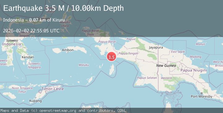
3.5Mag
West Papua Region, Indonesia
Time5 hours ago
Depth10.00 km
SourceBMKG (Automatic)