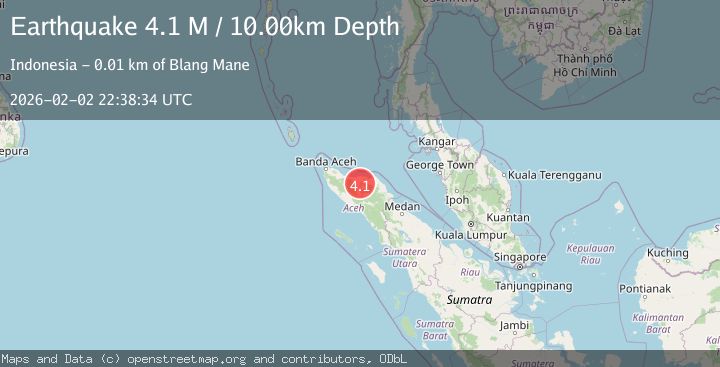
Earthquake Northern Sumatra, Indonesia
Mon, 02 Feb 2026 22:38:34 GMT
Time2 hours ago
Location
4.9161, 96.8209
Depth
10.0 KM
Event Summary
A 4.1 magnitude earthquake struck on Northern Sumatra, Indonesia, at Mon, 02 Feb 2026 22:38:34 GMT. Depth: 10km. Reviewed by BMKG seismologists, this light quake occurred at a magnitude type of M.
Magnitude
4.1
M
Source
BMKG
Intensity
-
Agency Reports
1 Sources| Source | Magnitude | Depth | Time |
|---|---|---|---|
| BMKGPrimary | 4.1 | 10 km | 2 hours ago |
Earthquake Details
AutomaticEvent IDbmg2026ciex
Tsunami PotentialNo
Magnitude TypeM
Nearest Places
- Gunung Gunci0.1 km
- Gampong Pantan Sinaku1.3 km
- Gunung Babahangen1.5 km
- Alue Pisang1.5 km
- Alue Gunci1.9 km
Comments
Join the discussion about this event.
Latest Earthquakes
0.7Mag
7 km NW of The Geysers, CA
Time2 hours ago
Depth3.13 km
SourceUSGS (Automatic)
2.4Mag
Sumba Region, Indonesia
Time2 hours ago
Depth17.48 km
SourceBMKG (Automatic)
2.1Mag
73 km WNW of Ninilchik, Alaska
Time2 hours ago
Depth128.00 km
SourceUSGS (Automatic)
2.4Mag
Southern Sumatra, Indonesia
Time2 hours ago
Depth10.00 km
SourceBMKG (Automatic)
2.5Mag
Sumbawa Region, Indonesia
Time2 hours ago
Depth77.93 km
SourceBMKG (Automatic)
Nearby Earthquakes
2.6Mag
Northern Sumatra, Indonesia
Time1 week ago
Depth10.00 km
SourceBMKG (Automatic)
2.5Mag
Northern Sumatra, Indonesia
Time6 days ago
Depth6.53 km
SourceBMKG (Automatic)
3.7Mag
Northern Sumatra, Indonesia
Time8 hours ago
Depth5.47 km
SourceBMKG (Automatic)
2.5Mag
Northern Sumatra, Indonesia
Time14 hours ago
Depth3.46 km
SourceBMKG (Automatic)
3.3Mag
Northern Sumatra, Indonesia
Time6 days ago
Depth10.00 km
SourceBMKG (Automatic)