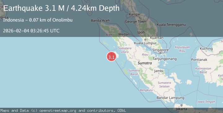
Earthquake Northern Sumatra, Indonesia
Wed, 04 Feb 2026 03:26:51 GMT
Time8 hours ago
Location
1.6147, 97.4286
Depth
46.7 KM
Event Summary
A 2.7 magnitude earthquake struck on Northern Sumatra, Indonesia, at Wed, 04 Feb 2026 03:26:51 GMT. Depth: 46.658649km. Reviewed by BMKG seismologists, this minor quake occurred at a magnitude type of M.
Magnitude
2.7
M
Source
BMKG
Intensity
-
Agency Reports
1 Sources| Source | Magnitude | Depth | Time |
|---|---|---|---|
| BMKGPrimary | 2.7 | 47 km | 8 hours ago |
Earthquake Details
AutomaticEvent IDbmg2026ckjy
Tsunami PotentialNo
Magnitude TypeM
Nearest Places
- Bayangan9.7 km
- Desa Seriwa’u9.7 km
- Pulau Sarangbaung9.8 km
- Tanjung Dowi10.5 km
- Desa Teluk Bengkuang11.6 km
Comments
Join the discussion about this event.
Latest Earthquakes
2.5Mag
Sumbawa Region, Indonesia
Time9 hours ago
Depth10.97 km
SourceBMKG (Automatic)
2.2Mag
Northern Sumatra, Indonesia
Time9 hours ago
Depth5.00 km
SourceBMKG (Automatic)
2.6Mag
20 km S of Cooper Landing, Alaska
Time9 hours ago
Depth26.60 km
SourceUSGS (Automatic)
2.1Mag
CENTRAL TURKEY
Time9 hours ago
Depth3.90 km
SourceKOERI (Automatic)
1.1Mag
7 km W of Cobb, CA
Time9 hours ago
Depth1.71 km
SourceUSGS (Automatic)
Nearby Earthquakes
4.8Mag
Off West Coast of Northern Sumatra
Time4 days ago
Depth19.15 km
SourceBMKG (Automatic)
2.5Mag
Northern Sumatra, Indonesia
Time2 days ago
Depth24.02 km
SourceBMKG (Automatic)
2.4Mag
Northern Sumatra, Indonesia
Time1 week ago
Depth10.00 km
SourceBMKG (Automatic)
2.1Mag
Northern Sumatra, Indonesia
Time1 week ago
Depth12.54 km
SourceBMKG (Automatic)
2.9Mag
Northern Sumatra, Indonesia
Time1 week ago
Depth7.87 km
SourceBMKG (Automatic)