Earthquake Northern Sumatra, Indonesia
Mon, 02 Feb 2026 09:28:59 GMT
Time13 hours ago
Location
1.1565, 98.1520
Depth
24.0 KM
Event Summary
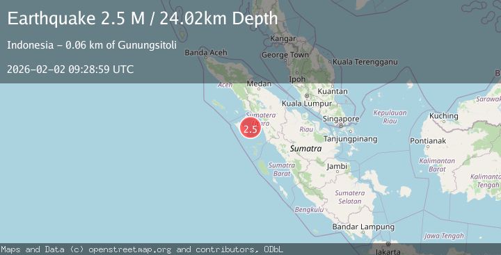
A 2.5 magnitude earthquake struck on Northern Sumatra, Indonesia, at Mon, 02 Feb 2026 09:28:59 GMT. Depth: 24.016998km. Reviewed by BMKG seismologists, this minor quake occurred at a magnitude type of M.
Magnitude
2.5
M
Source
BMKG
Intensity
-
Agency Reports
1 Sources| Source | Magnitude | Depth | Time |
|---|---|---|---|
| BMKGPrimary | 2.5 | 24 km | 13 hours ago |
Earthquake Details
AutomaticEvent IDbmg2026chew
Tsunami PotentialNo
Magnitude TypeM
Nearest Places
- William III Reef19.3 km
- Nias Basin20.5 km
- Pulau Musi26.2 km
- Kepulauan Soma26.4 km
- Pulau Onolimbu29.0 km
Comments
Join the discussion about this event.
Latest Earthquakes
2.1Mag
Northern Sumatra, Indonesia
Time13 hours ago
Depth6.92 km
SourceBMKG (Automatic)
3.2Mag
Northern Sumatra, Indonesia
Time13 hours ago
Depth128.79 km
SourceBMKG (Automatic)
3.2Mag
BOSNIA AND HERZEGOVINA
Time14 hours ago
Depth10.00 km
SourceRHMS (Automatic)
3.1Mag
Talaud Islands, Indonesia
Time14 hours ago
Depth18.23 km
SourceBMKG (Automatic)
1.3Mag
6 km NNE of Running Springs, CA
Time14 hours ago
Depth7.28 km
SourceUSGS (Automatic)
Nearby Earthquakes
2.6Mag
Northern Sumatra, Indonesia
Time1 week ago
Depth3.77 km
SourceBMKG (Automatic)
2.9Mag
Northern Sumatra, Indonesia
Time6 days ago
Depth7.87 km
SourceBMKG (Automatic)
2.2Mag
Northern Sumatra, Indonesia
Time1 day ago
Depth99.84 km
SourceBMKG (Automatic)
2.4Mag
Northern Sumatra, Indonesia
Time1 week ago
Depth10.00 km
SourceBMKG (Automatic)
2.3Mag
Northern Sumatra, Indonesia
Time1 week ago
Depth15.30 km
SourceBMKG (Automatic)