Earthquake Bali Sea
Wed, 04 Feb 2026 08:23:42 GMT
Time5 hours ago
Location
-7.9085, 117.2498
Depth
36.4 KM
Event Summary
A 2.3 magnitude earthquake struck on Bali Sea, at Wed, 04 Feb 2026 08:23:42 GMT. Depth: 36.423306km. Reviewed by BMKG seismologists, this minor quake occurred at a magnitude type of M.
Magnitude
2.3
M
Source
BMKG
Intensity
-
Agency Reports
1 Sources| Source | Magnitude | Depth | Time |
|---|---|---|---|
| BMKGPrimary | 2.3 | 36 km | 5 hours ago |
Earthquake Details
AutomaticEvent IDbmg2026ckts
Tsunami PotentialNo
Magnitude TypeM
Nearest Places
- Gosong Sakunci9.1 km
- Pulau Sadapur15.7 km
- Gosong Sadapur21.6 km
- Tanjung Utara29.2 km
- Desa Bugis Medang29.8 km
Comments
Join the discussion about this event.
Latest Earthquakes
2.5Mag
Southern Sumatra, Indonesia
Time5 hours ago
Depth0.00 km
SourceBMKG (Automatic)
0.5Mag
15 km SE of Anza, CA
Time5 hours ago
Depth10.91 km
SourceUSGS (Automatic)
3.2Mag
West Papua Region, Indonesia
Time5 hours ago
Depth14.12 km
SourceBMKG (Automatic)
2.4Mag
Timor Region
Time5 hours ago
Depth73.87 km
SourceBMKG (Automatic)
5.1Mag
ANTOFAGASTA, CHILE
Time5 hours ago
Depth112.00 km
SourceCSLC (Automatic)
Nearby Earthquakes
2.2Mag
Bali Sea
Time19 hours ago
Depth10.00 km
SourceBMKG (Automatic)
2.2Mag
Bali Sea
Time2 days ago
Depth10.00 km
SourceBMKG (Automatic)
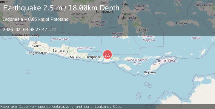
2.5Mag
Bali Sea
Time3 days ago
Depth18.29 km
SourceBMKG (Automatic)
2.3Mag
Bali Sea
Time1 week ago
Depth10.00 km
SourceBMKG (Automatic)
2.3Mag
Bali Sea
Time3 days ago
Depth18.72 km
SourceBMKG (Automatic)