Earthquake West Papua Region, Indonesia
Wed, 04 Feb 2026 08:11:11 GMT
Time5 hours ago
Location
-3.9626, 133.9362
Depth
14.1 KM
Event Summary
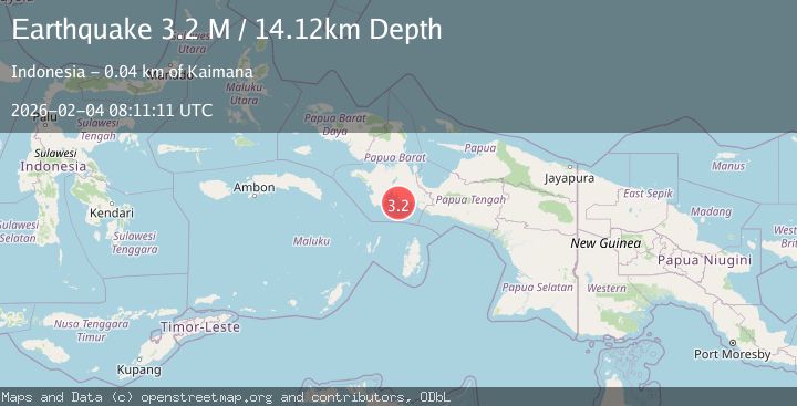
A 3.2 magnitude earthquake struck on West Papua Region, Indonesia, at Wed, 04 Feb 2026 08:11:11 GMT. Depth: 14.118502km. Reviewed by BMKG seismologists, this minor quake occurred at a magnitude type of M.
Magnitude
3.2
M
Source
BMKG
Intensity
-
Agency Reports
1 Sources| Source | Magnitude | Depth | Time |
|---|---|---|---|
| BMKGPrimary | 3.2 | 14 km | 5 hours ago |
Earthquake Details
AutomaticEvent IDbmg2026ckti
Tsunami PotentialNo
Magnitude TypeM
Nearest Places
- Pulau Lauzaro7.8 km
- Pulau Sagin10.6 km
- Tanjung Aiwa10.7 km
- Namatote10.9 km
- Sokos11.3 km
Comments
Join the discussion about this event.
Latest Earthquakes
2.4Mag
Timor Region
Time5 hours ago
Depth73.87 km
SourceBMKG (Automatic)
5.1Mag
ANTOFAGASTA, CHILE
Time5 hours ago
Depth112.00 km
SourceCSLC (Automatic)
2.0Mag
4 km N of Dublin, CA
Time5 hours ago
Depth6.84 km
SourceUSGS (Automatic)
1.0Mag
CENTRAL TURKEY
Time5 hours ago
Depth6.80 km
SourceAFAD (Automatic)
0.8Mag
13 km ENE of Cloverdale, CA
Time5 hours ago
Depth2.61 km
SourceUSGS (Automatic)
Nearby Earthquakes
3.8Mag
NEAR S COAST OF PAPUA, INDONESIA
Time1 week ago
Depth54.00 km
SourceBMKG (Automatic)
3.5Mag
West Papua Region, Indonesia
Time1 day ago
Depth10.00 km
SourceBMKG (Automatic)
3.3Mag
PAPUA, INDONESIA
Time3 days ago
Depth10.00 km
SourceBMKG (Automatic)
2.9Mag
West Papua Region, Indonesia
Time1 week ago
Depth10.00 km
SourceBMKG (Automatic)
3.5Mag
West Papua Region, Indonesia
Time1 day ago
Depth76.55 km
SourceBMKG (Automatic)