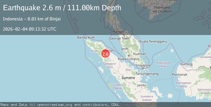
Earthquake Northern Sumatra, Indonesia
Wed, 04 Feb 2026 09:13:31 GMT
Time1 hour ago
Location
3.6313, 98.3286
Depth
105.8 KM
Event Summary
A 2.2 magnitude earthquake struck on Northern Sumatra, Indonesia, at Wed, 04 Feb 2026 09:13:31 GMT. Depth: 105.820618km. Reviewed by BMKG seismologists, this minor quake occurred at a magnitude type of M.
Magnitude
2.2
M
Source
BMKG
Intensity
-
Agency Reports
1 Sources| Source | Magnitude | Depth | Time |
|---|---|---|---|
| BMKGPrimary | 2.2 | 106 km | 1 hour ago |
Earthquake Details
AutomaticEvent IDbmg2026ckvj
Tsunami PotentialNo
Magnitude TypeM
Nearest Places
- Sorbajadi0.8 km
- Desa Perhiasan1.5 km
- Desa Gergas1.6 km
- Payarambe1.9 km
- Sugih Waras2.1 km
Comments
Join the discussion about this event.
Latest Earthquakes
0.2Mag
6 km WNW of Cobb, CA
Time1 hour ago
Depth2.03 km
SourceUSGS (Automatic)
2.2Mag
Sumbawa Region, Indonesia
Time1 hour ago
Depth31.41 km
SourceBMKG (Automatic)
2.3Mag
Java, Indonesia
Time1 hour ago
Depth122.46 km
SourceBMKG (Automatic)
3.0Mag
KODIAK ISLAND REGION, ALASKA
Time2 hours ago
Depth3.20 km
SourceAK (Automatic)
2.6Mag
CENTRAL TURKEY
Time2 hours ago
Depth12.50 km
SourceKOERI (Automatic)
Nearby Earthquakes
4.3Mag
Northern Sumatra, Indonesia
Time2 weeks ago
Depth10.00 km
SourceBMKG (Automatic)
2.9Mag
Northern Sumatra, Indonesia
Time5 days ago
Depth10.00 km
SourceBMKG (Automatic)
3.0Mag
Northern Sumatra, Indonesia
Time12 hours ago
Depth3.00 km
SourceBMKG (Automatic)
2.2Mag
Northern Sumatra, Indonesia
Time2 days ago
Depth2.19 km
SourceBMKG (Automatic)
2.8Mag
Northern Sumatra, Indonesia
Time1 week ago
Depth5.00 km
SourceBMKG (Automatic)