Earthquake KODIAK ISLAND REGION, ALASKA
Wed, 04 Feb 2026 08:43:20 GMT
Time2 hours ago
Location
57.9880, -151.7710
Depth
3.2 KM
Event Summary
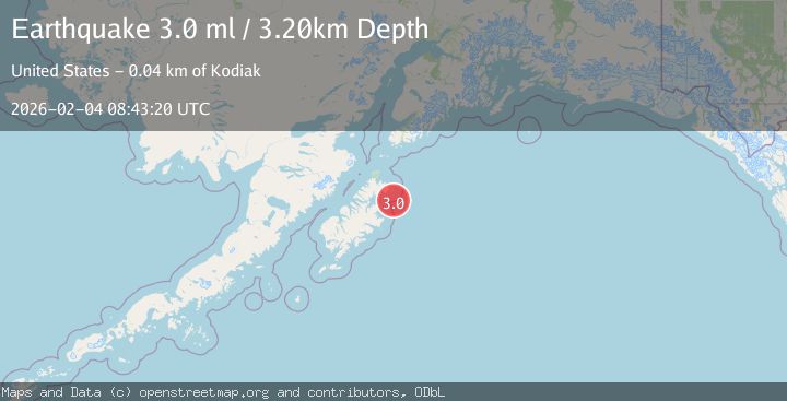
A 3.0 magnitude earthquake struck on KODIAK ISLAND REGION, ALASKA, at Wed, 04 Feb 2026 08:43:20 GMT. Depth: 3.2km. Reviewed by AK seismologists, this minor quake occurred at a magnitude type of ml.
Magnitude
3.0
ml
Source
AK
Intensity
-
Agency Reports
1 Sources| Source | Magnitude | Depth | Time |
|---|---|---|---|
| AKPrimary | 3.0 | 3 km | 2 hours ago |
Earthquake Details
AutomaticEvent IDemsc_AK_20260204_0000115
Tsunami PotentialNo
Magnitude Typeml
Nearest Places
- Marmot Bay19.4 km
- Marmot Cape20.5 km
- Tidal Basin22.5 km
- Owen Mountain23.6 km
- Marmot Island25.6 km
Comments
Join the discussion about this event.
Latest Earthquakes
1.9Mag
27 km E of Coso Junction, CA
Time2 hours ago
Depth2.17 km
SourceUSGS (Automatic)
3.8Mag
NEAR EAST COAST OF HONSHU, JAPAN
Time2 hours ago
Depth60.00 km
SourceJMA (Automatic)
3.0Mag
OFFSHORE EL SALVADOR
Time2 hours ago
Depth34.00 km
SourceINET (Automatic)
1.9Mag
25 km W of Garden City, Texas
Time2 hours ago
Depth4.02 km
SourceUSGS (Automatic)
3.4Mag
WESTERN XIZANG
Time2 hours ago
Depth10.00 km
SourceNDI (Automatic)
Nearby Earthquakes
3.9Mag
44 km ENE of Kodiak, Alaska
Time5 hours ago
Depth13.60 km
SourceUSGS (Automatic)
3.3Mag
KODIAK ISLAND REGION, ALASKA
Time1 day ago
Depth19.20 km
SourceAK (Automatic)
2.8Mag
76 km NNE of Aleneva, Alaska
Time1 day ago
Depth26.90 km
SourceUSGS (Automatic)
3.6Mag
78 km SW of Nanwalek, Alaska
Time1 week ago
Depth30.20 km
SourceUSGS (Automatic)
2.0Mag
61 km NNW of Aleneva, Alaska
Time1 week ago
Depth61.80 km
SourceUSGS (Automatic)