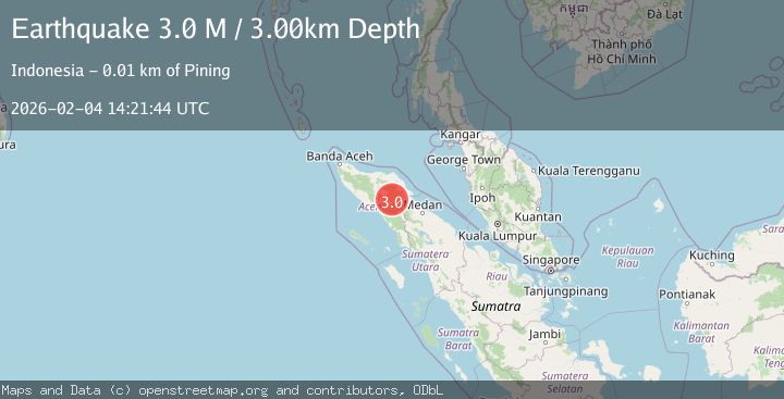
Earthquake Northern Sumatra, Indonesia
Wed, 04 Feb 2026 14:21:44 GMT
Time2 hours ago
Location
4.1163, 97.4896
Depth
5.0 KM
Event Summary
A 2.8 magnitude earthquake struck on Northern Sumatra, Indonesia, at Wed, 04 Feb 2026 14:21:44 GMT. Depth: 5km. Reviewed by BMKG seismologists, this minor quake occurred at a magnitude type of M.
Magnitude
2.8
M
Source
BMKG
Intensity
-
Agency Reports
1 Sources| Source | Magnitude | Depth | Time |
|---|---|---|---|
| BMKGPrimary | 2.8 | 5 km | 2 hours ago |
Earthquake Details
AutomaticEvent IDbmg2026clfn
Tsunami PotentialNo
Magnitude TypeM
Nearest Places
- Aer Putih3.8 km
- Waih Gajah5.0 km
- Burni Pasir Putih5.8 km
- Waihni Simpang Pangia6.2 km
- Oreng6.4 km
Comments
Join the discussion about this event.
Latest Earthquakes
1.9Mag
12 km NNE of Coyanosa, Texas
Time2 hours ago
Depth0.00 km
SourceUSGS (Automatic)
2.3Mag
Southern Sumatra, Indonesia
Time2 hours ago
Depth62.22 km
SourceBMKG (Automatic)
2.4Mag
Sulawesi, Indonesia
Time2 hours ago
Depth2.48 km
SourceBMKG (Automatic)
1.1Mag
8 km NW of The Geysers, CA
Time2 hours ago
Depth1.76 km
SourceUSGS (Automatic)
2.0Mag
56 km ESE of Lovelock, Nevada
Time2 hours ago
Depth10.45 km
SourceUSGS (Automatic)
Nearby Earthquakes
4.3Mag
Northern Sumatra, Indonesia
Time2 weeks ago
Depth10.00 km
SourceBMKG (Automatic)
2.2Mag
Northern Sumatra, Indonesia
Time3 days ago
Depth2.19 km
SourceBMKG (Automatic)
2.8Mag
Northern Sumatra, Indonesia
Time1 week ago
Depth5.00 km
SourceBMKG (Automatic)
2.2Mag
Northern Sumatra, Indonesia
Time1 day ago
Depth5.00 km
SourceBMKG (Automatic)
2.6Mag
Northern Sumatra, Indonesia
Time6 days ago
Depth5.00 km
SourceBMKG (Automatic)