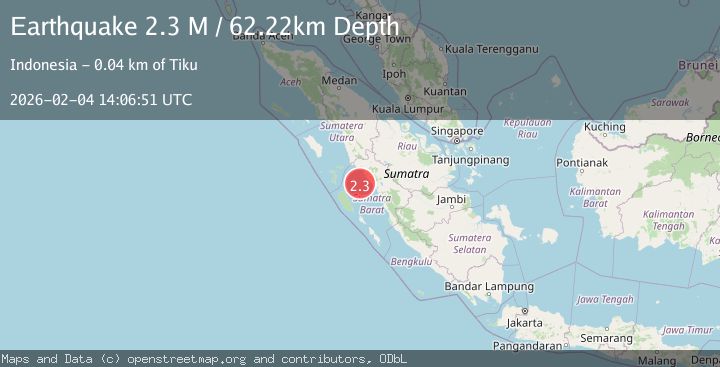
Earthquake Southern Sumatra, Indonesia
Wed, 04 Feb 2026 14:06:51 GMT
Time4 hours ago
Location
-0.5888, 99.5980
Depth
62.2 KM
Event Summary
A 2.3 magnitude earthquake struck on Southern Sumatra, Indonesia, at Wed, 04 Feb 2026 14:06:51 GMT. Depth: 62.219021km. Reviewed by BMKG seismologists, this minor quake occurred at a magnitude type of M.
Magnitude
2.3
M
Source
BMKG
Intensity
-
Agency Reports
1 Sources| Source | Magnitude | Depth | Time |
|---|---|---|---|
| BMKGPrimary | 2.3 | 62 km | 4 hours ago |
Earthquake Details
AutomaticEvent IDbmg2026clfb
Tsunami PotentialNo
Magnitude TypeM
Nearest Places
- Karang Sagi11.3 km
- Karang South Selita23.8 km
- Karang Selita25.3 km
- Karang East Pylades28.1 km
- Karang Ingaris30.9 km
Comments
Join the discussion about this event.
Latest Earthquakes
2.4Mag
Sulawesi, Indonesia
Time4 hours ago
Depth2.48 km
SourceBMKG (Automatic)
1.1Mag
8 km NW of The Geysers, CA
Time4 hours ago
Depth1.76 km
SourceUSGS (Automatic)
2.0Mag
56 km ESE of Lovelock, Nevada
Time4 hours ago
Depth10.45 km
SourceUSGS (Automatic)
2.8Mag
12 km NNE of Cantwell, Alaska
Time4 hours ago
Depth0.00 km
SourceUSGS (Automatic)
2.8Mag
Flores Region, Indonesia
Time4 hours ago
Depth96.66 km
SourceBMKG (Automatic)
Nearby Earthquakes
2.8Mag
Southern Sumatra, Indonesia
Time6 days ago
Depth38.19 km
SourceBMKG (Automatic)
3.6Mag
Southern Sumatra, Indonesia
Time4 days ago
Depth41.61 km
SourceBMKG (Automatic)
4.5Mag
Southern Sumatra, Indonesia
Time2 days ago
Depth23.34 km
SourceBMKG (Automatic)
2.8Mag
Southern Sumatra, Indonesia
Time1 day ago
Depth43.49 km
SourceBMKG (Automatic)
2.4Mag
Southern Sumatra, Indonesia
Time1 day ago
Depth10.00 km
SourceBMKG (Automatic)