Earthquake Southern Sumatra, Indonesia
Wed, 04 Feb 2026 14:55:52 GMT
Time2 hours ago
Location
-4.1309, 103.6888
Depth
4.0 KM
Event Summary
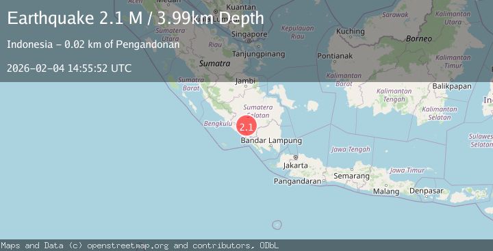
A 2.1 magnitude earthquake struck on Southern Sumatra, Indonesia, at Wed, 04 Feb 2026 14:55:52 GMT. Depth: 3.988805km. Reviewed by BMKG seismologists, this minor quake occurred at a magnitude type of M.
Magnitude
2.1
M
Source
BMKG
Intensity
-
Agency Reports
1 Sources| Source | Magnitude | Depth | Time |
|---|---|---|---|
| BMKGPrimary | 2.1 | 4 km | 2 hours ago |
Earthquake Details
AutomaticEvent IDbmg2026clgr
Tsunami PotentialNo
Magnitude TypeM
Nearest Places
- Desa Babatan2.2 km
- Bukit Asahan3.1 km
- Air Kokoi3.5 km
- Bukit Bunbun3.7 km
- Pematang Tenamcerudung4.1 km
Comments
Join the discussion about this event.
Latest Earthquakes
2.1Mag
Near North Coast of West Papua
Time2 hours ago
Depth21.79 km
SourceBMKG (Automatic)
1.3Mag
26 km NW of Ocotillo, CA
Time2 hours ago
Depth10.06 km
SourceUSGS (Automatic)
1.4Mag
WESTERN TURKEY
Time2 hours ago
Depth7.00 km
SourceAFAD (Automatic)
1.4Mag
CENTRAL TURKEY
Time2 hours ago
Depth8.30 km
SourceAFAD (Automatic)
3.5Mag
OFF E. COAST OF N. ISLAND, N.Z.
Time2 hours ago
Depth243.20 km
SourceGNS (Automatic)
Nearby Earthquakes
5.0Mag
Southern Sumatra, Indonesia
Time4 days ago
Depth233.46 km
SourceBMKG (Automatic)
3.4Mag
Southern Sumatra, Indonesia
Time5 days ago
Depth48.59 km
SourceBMKG (Automatic)
2.6Mag
Southern Sumatra, Indonesia
Time5 days ago
Depth18.59 km
SourceBMKG (Automatic)
2.5Mag
Southern Sumatra, Indonesia
Time4 days ago
Depth100.12 km
SourceBMKG (Automatic)
3.0Mag
Southern Sumatra, Indonesia
Time5 days ago
Depth23.61 km
SourceBMKG (Automatic)