Earthquake Near North Coast of West Papua
Wed, 04 Feb 2026 17:47:24 GMT
Time2 hours ago
Location
-2.3712, 140.7928
Depth
10.0 KM
Event Summary
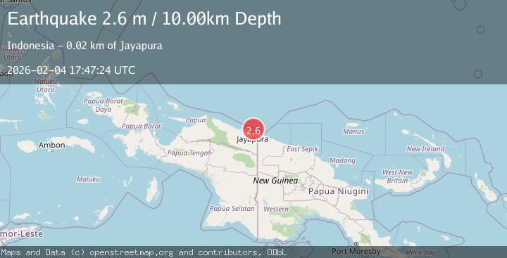
A 2.6 magnitude earthquake struck on Near North Coast of West Papua, at Wed, 04 Feb 2026 17:47:24 GMT. Depth: 10km. Reviewed by BMKG seismologists, this minor quake occurred at a magnitude type of M.
Magnitude
2.6
M
Source
BMKG
Intensity
-
Agency Reports
1 Sources| Source | Magnitude | Depth | Time |
|---|---|---|---|
| BMKGPrimary | 2.6 | 10 km | 2 hours ago |
Earthquake Details
AutomaticEvent IDbmg2026clmi
Tsunami PotentialNo
Magnitude TypeM
Nearest Places
- Kelurahan Tanjung Ria17.1 km
- Kelurahan Imbi18.2 km
- Kampung Kayo Batu18.8 km
- Tanjung Suaja18.8 km
- Kelurahan Trikora19.0 km
Comments
Join the discussion about this event.
Latest Earthquakes
2.1Mag
West Papua, Indonesia
Time2 hours ago
Depth52.00 km
SourceBMKG (Automatic)
3.3Mag
NEAR EAST COAST OF HONSHU, JAPAN
Time2 hours ago
Depth30.00 km
SourceJMA (Automatic)
4.0Mag
ANTOFAGASTA, CHILE
Time2 hours ago
Depth114.30 km
SourceCSN (Automatic)
3.0Mag
ANTOFAGASTA, CHILE
Time2 hours ago
Depth132.40 km
SourceCSN (Automatic)
1.5Mag
7 km NE of Hildale, Utah
Time2 hours ago
Depth11.77 km
SourceUSGS
Nearby Earthquakes
3.0Mag
Near North Coast of West Papua
Time4 days ago
Depth10.00 km
SourceBMKG (Automatic)
2.5Mag
Near North Coast of West Papua
Time1 week ago
Depth10.00 km
SourceBMKG (Automatic)
2.2Mag
Near North Coast of West Papua
Time1 week ago
Depth30.05 km
SourceBMKG (Automatic)
2.5Mag
Near North Coast of West Papua
Time1 week ago
Depth10.00 km
SourceBMKG (Automatic)
2.8Mag
Near North Coast of West Papua
Time1 week ago
Depth10.00 km
SourceBMKG (Automatic)