Earthquake Minahassa Peninsula, Sulawesi
Wed, 04 Feb 2026 21:30:27 GMT
Time2 hours ago
Location
0.5524, 121.5325
Depth
96.3 KM
Event Summary
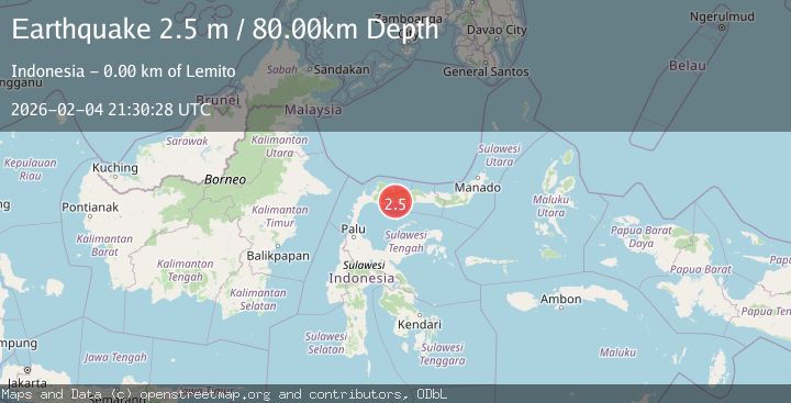
A 2.4 magnitude earthquake struck on Minahassa Peninsula, Sulawesi, at Wed, 04 Feb 2026 21:30:27 GMT. Depth: 96.34565km. Reviewed by BMKG seismologists, this minor quake occurred at a magnitude type of M.
Magnitude
2.4
M
Source
BMKG
Intensity
-
Agency Reports
1 Sources| Source | Magnitude | Depth | Time |
|---|---|---|---|
| BMKGPrimary | 2.4 | 96 km | 2 hours ago |
Earthquake Details
AutomaticEvent IDbmg2026cltr
Tsunami PotentialNo
Magnitude TypeM
Nearest Places
- Balobalonge0.8 km
- Desa Babalonge1.3 km
- Lito Ngeo1.6 km
- Lito Burung2.2 km
- Manggulipa2.3 km
Comments
Join the discussion about this event.
Latest Earthquakes
1.0Mag
67 km ESE of King Salmon, Alaska
Time2 hours ago
Depth129.50 km
SourceUSGS (Automatic)
1.9Mag
19 km S of Walker, CA
Time2 hours ago
Depth9.28 km
SourceUSGS (Automatic)
2.4Mag
Java, Indonesia
Time2 hours ago
Depth241.00 km
SourceBMKG (Automatic)
1.0Mag
6 km WNW of Cobb, CA
Time2 hours ago
Depth1.78 km
SourceUSGS (Automatic)
4.2Mag
Banda Sea
Time2 hours ago
Depth190.86 km
SourceBMKG (Automatic)
Nearby Earthquakes
2.2Mag
Minahassa Peninsula, Sulawesi
Time1 week ago
Depth76.64 km
SourceBMKG (Automatic)
2.5Mag
Minahassa Peninsula, Sulawesi
Time4 days ago
Depth42.16 km
SourceBMKG (Automatic)
2.1Mag
Minahassa Peninsula, Sulawesi
Time1 day ago
Depth26.10 km
SourceBMKG (Automatic)
2.9Mag
Minahassa Peninsula, Sulawesi
Time6 days ago
Depth59.25 km
SourceBMKG (Automatic)
2.7Mag
MINAHASA, SULAWESI, INDONESIA
Time1 week ago
Depth31.00 km
SourceBMKG (Automatic)