Earthquake Bali Sea
Thu, 05 Feb 2026 16:05:17 GMT
Time2 hours ago
Location
-7.8590, 117.6372
Depth
10.0 KM
Event Summary
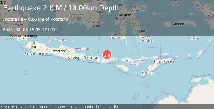
A 2.0 magnitude earthquake struck on Bali Sea, at Thu, 05 Feb 2026 16:05:17 GMT. Depth: 10km. Reviewed by BMKG seismologists, this minor quake occurred at a magnitude type of M.
Magnitude
2.0
M
Source
BMKG
Intensity
-
Agency Reports
1 Sources| Source | Magnitude | Depth | Time |
|---|---|---|---|
| BMKGPrimary | 2.0 | 10 km | 2 hours ago |
Earthquake Details
AutomaticEvent IDbmg2026cnel
Tsunami PotentialNo
Magnitude TypeM
Nearest Places
- Satonda Peak29.7 km
- Pulau Satonda30.3 km
- Ndano Satonda30.6 km
- Tanjung Panda32.3 km
- Teluk Patedong32.5 km
Comments
Join the discussion about this event.
Latest Earthquakes
1.9Mag
47 km NNE of Petersville, Alaska
Time3 minutes ago
Depth88.00 km
SourceUSGS (Automatic)
1.5Mag
10 km NNE of Odessa, Texas
Time11 minutes ago
Depth4.60 km
SourceUSGS (Automatic)
1.9Mag
6 km NNE of Anchorage, Alaska
Time25 minutes ago
Depth32.40 km
SourceUSGS
1.9Mag
50 km SSW of Skwentna, Alaska
Time38 minutes ago
Depth110.00 km
SourceUSGS (Automatic)
2.4Mag
Flores Sea
Time41 minutes ago
Depth23.21 km
SourceBMKG (Automatic)
Nearby Earthquakes
2.3Mag
Bali Sea
Time6 days ago
Depth10.00 km
SourceBMKG (Automatic)
2.2Mag
Bali Sea
Time1 week ago
Depth23.43 km
SourceBMKG (Automatic)
2.2Mag
Bali Sea
Time1 day ago
Depth21.03 km
SourceBMKG (Automatic)
2.2Mag
Bali Sea
Time2 days ago
Depth13.52 km
SourceBMKG (Automatic)
2.3Mag
Bali Sea
Time1 week ago
Depth13.31 km
SourceBMKG (Automatic)