Earthquake Bali Sea
Wed, 04 Feb 2026 15:29:52 GMT
Time3 hours ago
Location
-7.8984, 117.7011
Depth
21.0 KM
Event Summary
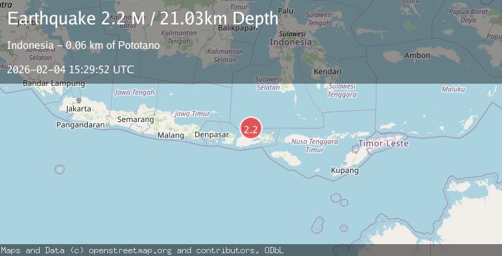
A 2.2 magnitude earthquake struck on Bali Sea, at Wed, 04 Feb 2026 15:29:52 GMT. Depth: 21.030741km. Reviewed by BMKG seismologists, this minor quake occurred at a magnitude type of M.
Magnitude
2.2
M
Source
BMKG
Intensity
-
Agency Reports
1 Sources| Source | Magnitude | Depth | Time |
|---|---|---|---|
| BMKGPrimary | 2.2 | 21 km | 3 hours ago |
Earthquake Details
AutomaticEvent IDbmg2026clhu
Tsunami PotentialNo
Magnitude TypeM
Nearest Places
- Satonda Peak23.3 km
- Pulau Satonda23.9 km
- Ndano Satonda24.2 km
- Teluk Nanganae27.7 km
- Sori Jati27.8 km
Comments
Join the discussion about this event.
Latest Earthquakes
4.6Mag
46 km NW of Beluga, Alaska
Time3 hours ago
Depth99.70 km
SourceUSGS (Automatic)
1.4Mag
9 km E of Alum Rock, CA
Time3 hours ago
Depth-0.45 km
SourceUSGS (Automatic)
2.2Mag
Northern Sumatra, Indonesia
Time3 hours ago
Depth24.31 km
SourceBMKG (Automatic)
2.5Mag
NORTHERN SUMATRA, INDONESIA
Time3 hours ago
Depth144.00 km
SourceBMKG (Automatic)
1.7Mag
WESTERN TURKEY
Time3 hours ago
Depth7.00 km
SourceEMSC (Automatic)
Nearby Earthquakes
2.3Mag
Bali Sea
Time1 week ago
Depth13.31 km
SourceBMKG (Automatic)
2.5Mag
Bali Sea
Time4 days ago
Depth15.24 km
SourceBMKG (Automatic)
2.1Mag
Bali Sea
Time2 days ago
Depth10.00 km
SourceBMKG (Automatic)
2.2Mag
Bali Sea
Time1 week ago
Depth23.43 km
SourceBMKG (Automatic)
2.3Mag
Bali Sea
Time6 days ago
Depth10.00 km
SourceBMKG (Automatic)