Earthquake West Papua Region, Indonesia
Thu, 05 Feb 2026 16:41:59 GMT
Time3 hours ago
Location
-3.6818, 134.2636
Depth
14.0 KM
Event Summary
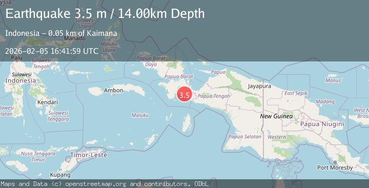
A 3.5 magnitude earthquake struck on West Papua Region, Indonesia, at Thu, 05 Feb 2026 16:41:59 GMT. Depth: 14km. Reviewed by BMKG seismologists, this minor quake occurred at a magnitude type of M.
Magnitude
3.5
M
Source
BMKG
Intensity
-
Agency Reports
1 Sources| Source | Magnitude | Depth | Time |
|---|---|---|---|
| BMKGPrimary | 3.5 | 14 km | 3 hours ago |
Earthquake Details
AutomaticEvent IDbmg2026cnfr
Tsunami PotentialNo
Magnitude TypeM
Nearest Places
- Danau Laamora2.1 km
- Wanggunambi3.3 km
- Aiwasi4.2 km
- Danau Aiwasa6.8 km
- Majemuta8.0 km
Comments
Join the discussion about this event.
Latest Earthquakes
1.2Mag
57 km S of Whites City, New Mexico
Time14 minutes ago
Depth11.37 km
SourceUSGS (Automatic)
1.5Mag
31 km ENE of Balmorhea, Texas
Time22 minutes ago
Depth5.06 km
SourceUSGS (Automatic)
0.9Mag
6 km NW of Parkfield, CA
Time30 minutes ago
Depth4.97 km
SourceUSGS (Automatic)
3.1Mag
SOUTHERN GREECE
Time31 minutes ago
Depth0.00 km
SourceTHE (Automatic)
2.6Mag
WESTERN AUSTRALIA
Time35 minutes ago
Depth5.00 km
SourceAUST (Automatic)
Nearby Earthquakes
3.2Mag
West Papua Region, Indonesia
Time1 day ago
Depth14.12 km
SourceBMKG (Automatic)
3.5Mag
West Papua Region, Indonesia
Time20 hours ago
Depth10.00 km
SourceBMKG (Automatic)
3.5Mag
West Papua Region, Indonesia
Time2 days ago
Depth10.00 km
SourceBMKG (Automatic)
3.5Mag
West Papua Region, Indonesia
Time2 days ago
Depth76.55 km
SourceBMKG (Automatic)
3.5Mag
West Papua Region, Indonesia
Time2 days ago
Depth10.00 km
SourceBMKG (Automatic)