Earthquake Northern Molucca Sea
Fri, 06 Feb 2026 08:23:36 GMT
Time1 hour ago
Location
1.2671, 126.1394
Depth
27.3 KM
Event Summary
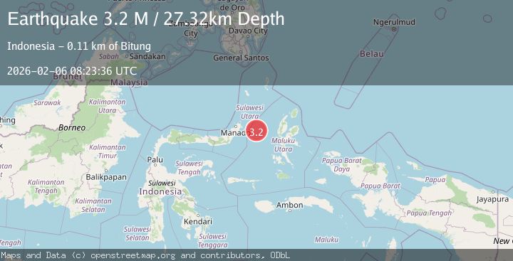
A 3.2 magnitude earthquake struck on Northern Molucca Sea, at Fri, 06 Feb 2026 08:23:36 GMT. Depth: 27.316711km. Reviewed by BMKG seismologists, this minor quake occurred at a magnitude type of M.
Magnitude
3.2
M
Source
BMKG
Intensity
-
Agency Reports
1 Sources| Source | Magnitude | Depth | Time |
|---|---|---|---|
| BMKGPrimary | 3.2 | 27 km | 1 hour ago |
Earthquake Details
AutomaticEvent IDbmg2026coks
Tsunami PotentialNo
Magnitude TypeM
Nearest Places
- Kelurahan Perum Bersatu25.2 km
- Pasirputih25.5 km
- Tanjung Geranomaderi27.1 km
- Kelurahan Mayau27.3 km
- Kelurahan Lelewi27.5 km
Comments
Join the discussion about this event.
Latest Earthquakes
1.1Mag
11 km N of Piru, CA
Time7 minutes ago
Depth8.99 km
SourceUSGS (Automatic)
1.3Mag
WESTERN TURKEY
Time14 minutes ago
Depth6.20 km
SourceAFAD (Automatic)
1.1Mag
WESTERN TURKEY
Time18 minutes ago
Depth7.00 km
SourceAFAD (Automatic)
0.8Mag
7 km W of Cobb, CA
Time21 minutes ago
Depth1.61 km
SourceUSGS (Automatic)
1.5Mag
EASTERN TURKEY
Time26 minutes ago
Depth6.50 km
SourceAFAD (Automatic)
Nearby Earthquakes
3.1Mag
Northern Molucca Sea
Time1 week ago
Depth14.98 km
SourceBMKG (Automatic)
2.9Mag
Northern Molucca Sea
Time1 day ago
Depth26.98 km
SourceBMKG (Automatic)
2.7Mag
MOLUCCA SEA
Time3 days ago
Depth28.00 km
SourceBMKG (Automatic)
3.1Mag
Northern Molucca Sea
Time1 week ago
Depth31.75 km
SourceBMKG (Automatic)
4.7Mag
Northern Molucca Sea
Time2 weeks ago
Depth23.34 km
SourceBMKG (Automatic)