Earthquake MOLUCCA SEA
Mon, 02 Feb 2026 18:43:52 GMT
Time1 hour ago
Location
1.1500, 126.0900
Depth
28.0 KM
Event Summary
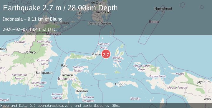
A 2.7 magnitude earthquake struck on MOLUCCA SEA, at Mon, 02 Feb 2026 18:43:52 GMT. Depth: 28km. Reviewed by BMKG seismologists, this minor quake occurred at a magnitude type of m.
Magnitude
2.7
m
Source
BMKG
Intensity
-
Agency Reports
1 Sources| Source | Magnitude | Depth | Time |
|---|---|---|---|
| BMKGPrimary | 2.7 | 28 km | 1 hour ago |
Earthquake Details
AutomaticEvent IDemsc_BMKG_20260202_0000312
Tsunami PotentialNo
Magnitude Typem
Nearest Places
- Pulau Gureda19.2 km
- Kelurahan Pantai Sagu19.9 km
- Pulau Tifore20.4 km
- Kelurahan Tifure21.1 km
- Tanjung Geranomaderi35.1 km
Comments
Join the discussion about this event.
Latest Earthquakes
2.3Mag
Minahassa Peninsula, Sulawesi
Time1 hour ago
Depth50.17 km
SourceBMKG (Automatic)
1.2Mag
11 km NE of Julian, CA
Time1 hour ago
Depth10.31 km
SourceUSGS (Automatic)
2.5Mag
Java, Indonesia
Time1 hour ago
Depth78.16 km
SourceBMKG (Automatic)
2.8Mag
WEST OF AUSTRALIA
Time1 hour ago
Depth10.00 km
SourceAUST (Automatic)
1.2Mag
17 km S of Tres Pinos, CA
Time1 hour ago
Depth6.76 km
SourceUSGS (Automatic)
Nearby Earthquakes
3.1Mag
Northern Molucca Sea
Time4 days ago
Depth14.98 km
SourceBMKG (Automatic)
3.7Mag
Northern Molucca Sea
Time3 days ago
Depth60.98 km
SourceBMKG (Automatic)
4.7Mag
Northern Molucca Sea
Time1 week ago
Depth23.34 km
SourceBMKG (Automatic)
3.6Mag
Northern Molucca Sea
Time3 days ago
Depth10.00 km
SourceBMKG (Automatic)
4.2Mag
Northern Molucca Sea
Time1 day ago
Depth18.91 km
SourceBMKG (Automatic)