Earthquake Southern Sumatra, Indonesia
Fri, 06 Feb 2026 08:51:49 GMT
Time1 hour ago
Location
-2.8095, 100.0048
Depth
10.0 KM
Event Summary
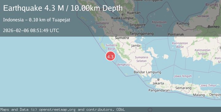
A 4.3 magnitude earthquake struck on Southern Sumatra, Indonesia, at Fri, 06 Feb 2026 08:51:49 GMT. Depth: 10km. Reviewed by BMKG seismologists, this light quake occurred at a magnitude type of M.
Magnitude
4.3
M
Source
BMKG
Intensity
-
Agency Reports
1 Sources| Source | Magnitude | Depth | Time |
|---|---|---|---|
| BMKGPrimary | 4.3 | 10 km | 1 hour ago |
Earthquake Details
AutomaticEvent IDbmg2026colr
Tsunami PotentialNo
Magnitude TypeM
Nearest Places
- Teluk Betumango1.3 km
- Tanjung Toitet1.5 km
- Betumonga2.8 km
- Teluk Pasongan4.0 km
- Tanjung Sinyai4.6 km
Comments
Join the discussion about this event.
Latest Earthquakes
1.3Mag
22 km SW of Snyder, Texas
Time5 minutes ago
Depth2.47 km
SourceUSGS (Automatic)
3.8Mag
West Papua, Indonesia
Time7 minutes ago
Depth115.48 km
SourceBMKG (Automatic)
2.7Mag
Halmahera, Indonesia
Time9 minutes ago
Depth10.00 km
SourceBMKG (Automatic)
3.5Mag
9 km WNW of Pedro Bay, Alaska
Time9 minutes ago
Depth194.00 km
SourceUSGS (Automatic)
1.1Mag
24 km NW of Parkfield, CA
Time10 minutes ago
Depth7.91 km
SourceUSGS (Automatic)
Nearby Earthquakes
3.5Mag
Southern Sumatra, Indonesia
Time1 week ago
Depth46.40 km
SourceBMKG (Automatic)
2.9Mag
Southern Sumatra, Indonesia
Time6 days ago
Depth11.52 km
SourceBMKG (Automatic)
2.8Mag
Southern Sumatra, Indonesia
Time1 week ago
Depth29.81 km
SourceBMKG (Automatic)
3.7Mag
Southern Sumatra, Indonesia
Time5 days ago
Depth12.10 km
SourceBMKG (Automatic)
3.5Mag
Southern Sumatra, Indonesia
Time6 days ago
Depth20.50 km
SourceBMKG (Automatic)