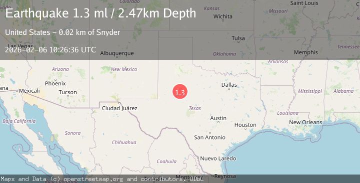
Earthquake 22 km SW of Snyder, Texas
Fri, 06 Feb 2026 10:26:36 GMT
Time1 hour ago
Location
32.5690, -101.0860
Depth
2.5 KM
Event Summary
A 1.3 magnitude earthquake struck on 22 km SW of Snyder, Texas, at Fri, 06 Feb 2026 10:26:36 GMT. Depth: 2.4709km. Reviewed by USGS seismologists, this minor quake occurred at a magnitude type of ml.
Magnitude
1.3
ml
Source
USGS
Intensity
-
Agency Reports
1 Sources| Source | Magnitude | Depth | Time |
|---|---|---|---|
| USGSPrimary | 1.3 | 2 km | 1 hour ago |
Earthquake Details
AutomaticEvent IDusgs_tx2026cowxgg
Tsunami PotentialNo
Magnitude Typeml
Nearest Places
- Bull Creek1.7 km
- Bluff Creek2.8 km
- Bluff Creek Cemetery3.6 km
- Lake J B Thomas Dam4.9 km
- Dunn Lake6.5 km
Comments
Join the discussion about this event.
Latest Earthquakes
2.4Mag
West Papua Region, Indonesia
Time6 minutes ago
Depth10.00 km
SourceBMKG (Automatic)
2.8Mag
Java, Indonesia
Time7 minutes ago
Depth29.73 km
SourceBMKG (Automatic)
1.5Mag
3 km NW of The Geysers, CA
Time14 minutes ago
Depth3.65 km
SourceUSGS (Automatic)
3.0Mag
ANTOFAGASTA, CHILE
Time22 minutes ago
Depth121.70 km
SourceCSN (Automatic)
2.1Mag
Sulawesi, Indonesia
Time25 minutes ago
Depth6.76 km
SourceBMKG (Automatic)
Nearby Earthquakes
1.5Mag
23 km SW of Snyder, Texas
Time1 week ago
Depth2.69 km
SourceUSGS (Automatic)
1.8Mag
23 km SW of Snyder, Texas
Time1 week ago
Depth2.05 km
SourceUSGS (Automatic)
1.3Mag
23 km SW of Snyder, Texas
Time1 week ago
Depth2.69 km
SourceUSGS (Automatic)
1.7Mag
23 km SW of Snyder, Texas
Time1 week ago
Depth2.60 km
SourceUSGS (Automatic)
0.9Mag
23 km SW of Snyder, Texas
Time1 week ago
Depth3.41 km
SourceUSGS (Automatic)