Earthquake South of Bali, Indonesia
Fri, 06 Feb 2026 13:26:39 GMT
Time1 hour ago
Location
-9.5531, 115.6975
Depth
15.0 KM
Event Summary
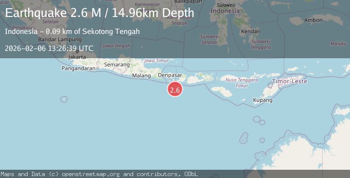
A 2.6 magnitude earthquake struck on South of Bali, Indonesia, at Fri, 06 Feb 2026 13:26:39 GMT. Depth: 14.956248km. Reviewed by BMKG seismologists, this minor quake occurred at a magnitude type of M.
Magnitude
2.6
M
Source
BMKG
Intensity
-
Agency Reports
1 Sources| Source | Magnitude | Depth | Time |
|---|---|---|---|
| BMKGPrimary | 2.6 | 15 km | 1 hour ago |
Earthquake Details
AutomaticEvent IDbmg2026cous
Tsunami PotentialNo
Magnitude TypeM
Nearest Places
- Lombok Basin45.5 km
- Pulau Sophialouisa77.5 km
- Gili Sarangburung79.7 km
- Gili Luah80.2 km
- Gili Loangberayun80.7 km
Comments
Join the discussion about this event.
Latest Earthquakes
2.4Mag
Seram, Indonesia
Time9 minutes ago
Depth6.27 km
SourceBMKG (Automatic)
2.0Mag
STRAIT OF GIBRALTAR
Time11 minutes ago
Depth10.70 km
SourceIGN (Automatic)
2.5Mag
Sunda Strait, Indonesia
Time17 minutes ago
Depth2.88 km
SourceBMKG (Automatic)
1.4Mag
15 km WSW of Manley Hot Springs, Alaska
Time20 minutes ago
Depth5.90 km
SourceUSGS (Automatic)
2.5Mag
Sulawesi, Indonesia
Time21 minutes ago
Depth10.04 km
SourceBMKG (Automatic)
Nearby Earthquakes
2.5Mag
South of Bali, Indonesia
Time1 week ago
Depth37.73 km
SourceBMKG (Automatic)
2.9Mag
South of Bali, Indonesia
Time1 week ago
Depth27.22 km
SourceBMKG (Automatic)
2.5Mag
South of Bali, Indonesia
Time6 days ago
Depth68.01 km
SourceBMKG (Automatic)
2.7Mag
South of Bali, Indonesia
Time4 days ago
Depth28.04 km
SourceBMKG (Automatic)
2.6Mag
South of Bali, Indonesia
Time1 week ago
Depth19.30 km
SourceBMKG (Automatic)