Earthquake Timor Region
Fri, 06 Feb 2026 14:13:15 GMT
Time2 days ago
Location
-8.6315, 124.4479
Depth
94.3 KM
Event Summary
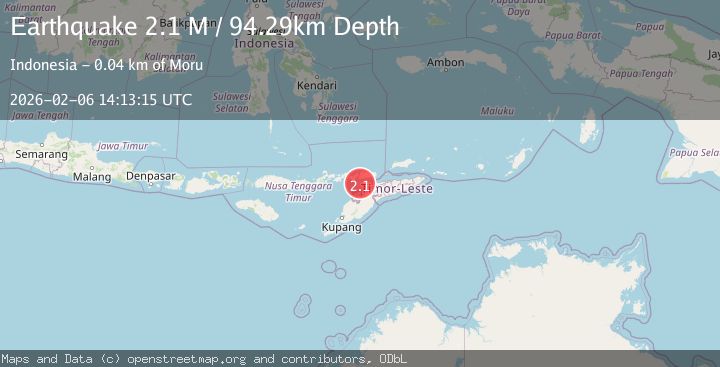
A 2.1 magnitude earthquake struck on Timor Region, at Fri, 06 Feb 2026 14:13:15 GMT. Depth: 94.293022km. Reviewed by BMKG seismologists, this minor quake occurred at a magnitude type of M.
Magnitude
2.1
M
Source
BMKG
Intensity
-
Agency Reports
1 Sources| Source | Magnitude | Depth | Time |
|---|---|---|---|
| BMKGPrimary | 2.1 | 94 km | 2 days ago |
Earthquake Details
AutomaticEvent IDbmg2026cowg
Tsunami PotentialNo
Magnitude TypeM
Nearest Places
- Tanjung Margeta19.4 km
- Alu Ihirgahal20.6 km
- Mamatang20.8 km
- Teluk Halerman21.2 km
- Batmi21.2 km
Comments
Join the discussion about this event.
Latest Earthquakes
2.4Mag
SWITZERLAND
Time13 hours ago
Depth20.00 km
SourceLED (Automatic)
2.7Mag
Flores Sea
Time13 hours ago
Depth25.19 km
SourceBMKG (Automatic)
3.6Mag
8 km WNW of Cobb, CA
Time13 hours ago
Depth1.54 km
SourceUSGS (Automatic)
1.3Mag
102 km ESE of McCarthy, Alaska
Time13 hours ago
Depth77.10 km
SourceUSGS (Automatic)
4.1Mag
Talaud Islands, Indonesia
Time13 hours ago
Depth65.67 km
SourceBMKG (Automatic)
Nearby Earthquakes
2.4Mag
Timor Region
Time1 week ago
Depth78.46 km
SourceBMKG (Automatic)
2.4Mag
Timor Region
Time2 weeks ago
Depth36.82 km
SourceBMKG (Automatic)
2.5Mag
Timor Region
Time1 week ago
Depth99.66 km
SourceBMKG (Automatic)
2.3Mag
Timor Region
Time1 week ago
Depth59.59 km
SourceBMKG (Automatic)
2.4Mag
Timor Region
Time1 week ago
Depth56.30 km
SourceBMKG (Automatic)