Earthquake Flores Region, Indonesia
Fri, 06 Feb 2026 18:46:17 GMT
Time1 hour ago
Location
-8.1368, 122.8768
Depth
8.9 KM
Event Summary
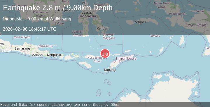
A 2.8 magnitude earthquake struck on Flores Region, Indonesia, at Fri, 06 Feb 2026 18:46:17 GMT. Depth: 8.936564km. Reviewed by BMKG seismologists, this minor quake occurred at a magnitude type of M.
Magnitude
2.8
M
Source
BMKG
Intensity
-
Agency Reports
1 Sources| Source | Magnitude | Depth | Time |
|---|---|---|---|
| BMKGPrimary | 2.8 | 9 km | 1 hour ago |
Earthquake Details
AutomaticEvent IDbmg2026cpfh
Tsunami PotentialNo
Magnitude TypeM
Nearest Places
- Kecamatan Tanjung Bunga1.6 km
- Ile Belobuto1.6 km
- Ile Kumakamak1.7 km
- Lamanabi1.8 km
- Desa Sinarhadigala2.0 km
Comments
Join the discussion about this event.
Latest Earthquakes
2.3Mag
Flores Region, Indonesia
Time13 minutes ago
Depth12.49 km
SourceBMKG (Automatic)
2.2Mag
Sumbawa Region, Indonesia
Time17 minutes ago
Depth121.88 km
SourceBMKG (Automatic)
3.5Mag
Tanimbar Islands Region, Indonesia
Time19 minutes ago
Depth63.97 km
SourceBMKG (Automatic)
2.2Mag
NORTHERN ITALY
Time20 minutes ago
Depth6.90 km
SourceETHZ (Automatic)
1.4Mag
5 km NE of Bradbury, CA
Time26 minutes ago
Depth-0.53 km
SourceUSGS (Automatic)
Nearby Earthquakes
2.3Mag
Flores Region, Indonesia
Time13 minutes ago
Depth12.49 km
SourceBMKG (Automatic)
2.3Mag
Flores Region, Indonesia
Time2 days ago
Depth10.00 km
SourceBMKG (Automatic)
3.6Mag
Banda Sea
Time1 week ago
Depth198.96 km
SourceBMKG (Automatic)
2.3Mag
Flores Region, Indonesia
Time4 days ago
Depth38.94 km
SourceBMKG (Automatic)
3.0Mag
Flores Region, Indonesia
Time1 day ago
Depth204.39 km
SourceBMKG (Automatic)