Earthquake Flores Region, Indonesia
Fri, 06 Feb 2026 19:57:30 GMT
Time1 hour ago
Location
-8.1943, 122.8730
Depth
12.5 KM
Event Summary
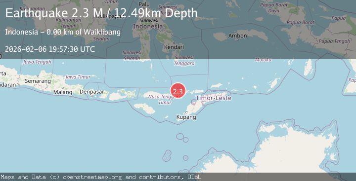
A 2.3 magnitude earthquake struck on Flores Region, Indonesia, at Fri, 06 Feb 2026 19:57:30 GMT. Depth: 12.492304km. Reviewed by BMKG seismologists, this minor quake occurred at a magnitude type of M.
Magnitude
2.3
M
Source
BMKG
Intensity
-
Agency Reports
1 Sources| Source | Magnitude | Depth | Time |
|---|---|---|---|
| BMKGPrimary | 2.3 | 12 km | 1 hour ago |
Earthquake Details
AutomaticEvent IDbmg2026cphp
Tsunami PotentialNo
Magnitude TypeM
Nearest Places
- Teluk Singaraja1.7 km
- Tanjung Beloaja1.8 km
- Wai Kemera1.9 km
- Beloaja2.1 km
- Wai Singaraja2.1 km
Comments
Join the discussion about this event.
Latest Earthquakes
1.7Mag
5 km SE of Mineral, Washington
Time4 minutes ago
Depth20.67 km
SourceUSGS (Automatic)
1.2Mag
3 km SE of Loma Linda, CA
Time11 minutes ago
Depth3.54 km
SourceUSGS (Automatic)
1.2Mag
24 km NNW of Westbrook, Texas
Time13 minutes ago
Depth4.04 km
SourceUSGS (Automatic)
2.3Mag
62 km SE of Pope-Vannoy Landing, Alaska
Time19 minutes ago
Depth104.10 km
SourceUSGS (Automatic)
1.4Mag
36 km NNW of Beluga, Alaska
Time20 minutes ago
Depth66.70 km
SourceUSGS (Automatic)
Nearby Earthquakes
2.3Mag
Flores Region, Indonesia
Time2 days ago
Depth10.00 km
SourceBMKG (Automatic)
2.8Mag
Flores Region, Indonesia
Time2 hours ago
Depth8.94 km
SourceBMKG (Automatic)
3.0Mag
Flores Region, Indonesia
Time1 day ago
Depth204.39 km
SourceBMKG (Automatic)
2.3Mag
Flores Region, Indonesia
Time4 days ago
Depth38.94 km
SourceBMKG (Automatic)
3.6Mag
Banda Sea
Time1 week ago
Depth198.96 km
SourceBMKG (Automatic)