Earthquake 5 km SE of Mineral, Washington
Fri, 06 Feb 2026 21:13:10 GMT
Time1 hour ago
Location
46.6768, -122.1312
Depth
20.7 KM
Event Summary
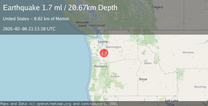
A 1.7 magnitude earthquake struck on 5 km SE of Mineral, Washington, at Fri, 06 Feb 2026 21:13:10 GMT. Depth: 20.6700000762939km. Reviewed by USGS seismologists, this minor quake occurred at a magnitude type of ml.
Magnitude
1.7
ml
Source
USGS
Intensity
-
Agency Reports
1 Sources| Source | Magnitude | Depth | Time |
|---|---|---|---|
| USGSPrimary | 1.7 | 21 km | 1 hour ago |
Earthquake Details
AutomaticEvent IDusgs_uw62225981
Tsunami PotentialNo
Magnitude Typeml
Nearest Places
- Washington Creek1.2 km
- Gallup Creek1.7 km
- Storm King Mountain3.8 km
- Storm King Lookout3.8 km
- North Fork Mineral Creek4.0 km
Comments
Join the discussion about this event.
Latest Earthquakes
2.6Mag
Timor Region
Time15 minutes ago
Depth35.89 km
SourceBMKG (Automatic)
2.8Mag
Bali Sea
Time22 minutes ago
Depth15.77 km
SourceBMKG (Automatic)
2.6Mag
Java, Indonesia
Time26 minutes ago
Depth12.69 km
SourceBMKG (Automatic)
1.3Mag
4 km W of Cobb, CA
Time29 minutes ago
Depth2.02 km
SourceUSGS (Automatic)
1.1Mag
2 km ESE of Tres Pinos, CA
Time30 minutes ago
Depth7.90 km
SourceUSGS (Automatic)
Nearby Earthquakes
1.3Mag
1 km SSE of Kapowsin, Washington
Time1 week ago
Depth-0.26 km
SourceUSGS
1.8Mag
23 km N of Trout Lake, Washington
Time21 hours ago
Depth-1.04 km
SourceUSGS (Automatic)
1.5Mag
3 km N of Lewisville, Washington
Time1 week ago
Depth-0.83 km
SourceUSGS
2.1Mag
1 km ESE of Enetai, Washington
Time1 week ago
Depth22.66 km
SourceUSGS (Automatic)
0.3Mag
9 km NNE of Snoqualmie, Washington
Time1 week ago
Depth13.11 km
SourceUSGS